FR-38 The plateau d’Emparis – MTB 41 Km, D+1417m, 4 cols
Author’s description
Author: Guy Garcin
Start : in the center of the village of Mizoën. Alt : 1187 m.
General description
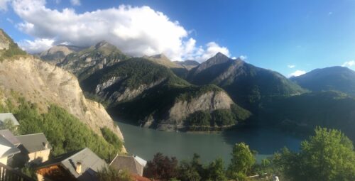
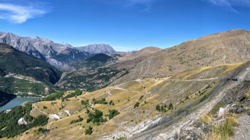
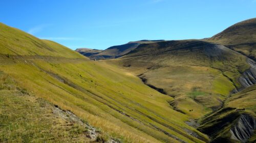
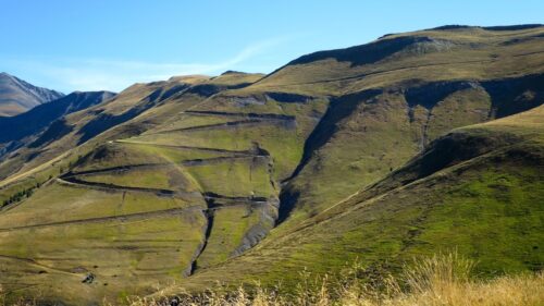
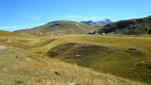
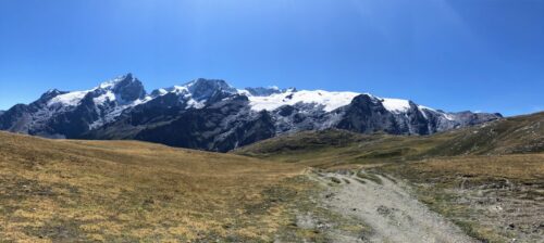
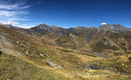
Superb mountain bike loop in the largest alpine pasture in France facing the glaciers of La Meije, among crystalline lakes, herds and altitude flora.
The plateau d’Emparis is located at an altitude of more than 2000 m in the French départments of Isère and Hautes-Alpes. It belongs to the Arves massif, it faces the Écrins massif, notably the La Meije and the Rateau peaks. It is located in the communes of Besse, Mizoën and La Grave.
The plateau d’Emparis , with its rich flora and fauna, is a Natura 2000 site in France.
The route crosses the beautiful village of Besse en Oisans with its dry stone houses.
4 cols
1 – Col du Souchet FR-05-2365
2 – La Brèche FR-05-2390
3 – Col Saint Georges FR-38-2245a
4 – Col Nazié FR-38-1902b
Technical description
On the 41 km of the course:
– 30 km are on R1,
– 10 km approximately on the way out and back to the Col de Souchet and La Brêche are roughly 30 % rideable,
– 90 m out and back to reach the Col Nazié
Openrunner link, interactive map, profile, gpx track
https://www.openrunner.com/route-details/16807439
Key words: Plateau d’Amparis, Mizoën, Besse-en-Oisans, centcols
More about “Plateau d’Emparis with A.R. at La Brèche – 2390m :
https://love-velo.fr/plateau-demparis-avec-a-r-a-la-breche-2390m/
This itinerary is proposed as an indication. The author is not responsible for the imponderables due to the cyclist himself, the equipment used and everything that concerns the road, its surroundings and the other users of it.
Here, a exhaustive overview of member courses of the Club des Cent Cols
Photos
Album photo : https://photos.app.goo.gl/2i8gooLhewLex5Q16


