FR-42 Saint-Just-en-Bas – Route 44 km, elevation gain 830 m, 10 cols
Author description
Author : René Mercier
Course : carried out in July 2025
Departure : Saint-Just-en-Bas, in front of the cemetery.
Tourist information
This route winds its way through the forests of the Forez Mountains, not far from Noirétable.
If it is open, do visit the church at Saint-Just-en-Bas, which is listed as a historic monument.
Technical specifications
This route is 96 per cent on roads and presents no particular difficulties.
Please note: this return route includes two cols that are not on the main road. The col of Les Placiaux is at the end of a 400-metre S1 track that is partially cycleable, but if necessary, you can easily push your bike. The col is at the end of a 400-metre R1 track which is cycleable on a road bike. It would be a shame to miss these two cols, which are fairly easy to reach.
Traffic is fairly light. There are no shops along the route, so it’s best to stock up on water before setting off.
10 passes
| 1 – Col de la Croix de Ladret | 1,046 m | FR-42-1046 |
| 2 – Col des Placiaux (S1) | 1,153 m | FR-42-1153 |
| 3 – Colonel of the Lodge | 1253 m | FR-42-1253 |
| 4 – Col des Sapeaux | 1164 m | FR-42-1164 |
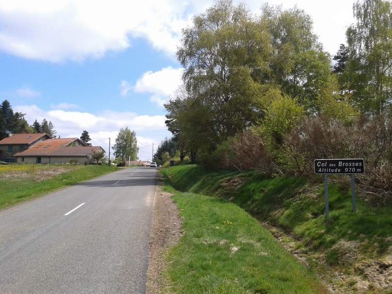
| 5 – Col des Brosses | 973 m | FR-42-0980 |
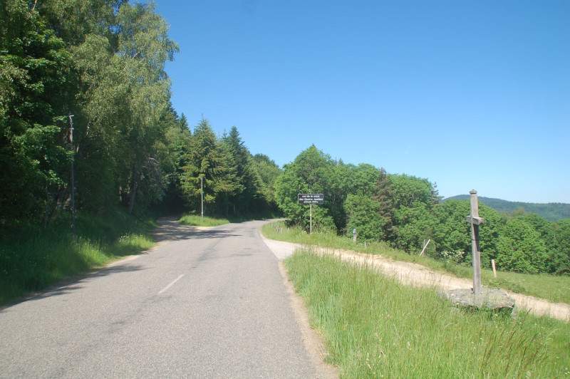
| 6 – Col de la Croix des Quatre Jambes | 1,001 m | FR-42-0990 |
| 7 – Col du Las (R1) | 987 m | FR-42-0984 |
| 8 – Col de Courbaret | 1055 m | FR-42-1053 |
| 9 – Col de la Grande Roue | 944 m | FR-42-0944 |
| 10 – Col d’Aillet | 885 m | FR-42-0940a |
Keywords : Saint-Just-en-Bas, Forez, Noirétable, Centcols
Openrunner link, interactive map, profile, track : https://www.openrunner.com/route-details/25612489
This itinerary is provided for information only. The author accepts no liability, nor that of the Club des Cent Cols, for any imponderables due to the cyclist himself, the equipment used or anything to do with the road, tracks and paths, their surroundings or other users.
Photos
 Français
 English (UK)
 Italiano
 Deutsch
 Español
 Nederlands (België)