CH-NE Jura neuchâtelois - Gravel 108 km, D+ 2260 m, 18 passes
Author description
Authors : Philippe Chazottier
Course Completed on 22 June 2025
Departure Parking: Renan station car park, south-west of Saint-Imier.
Tourist information
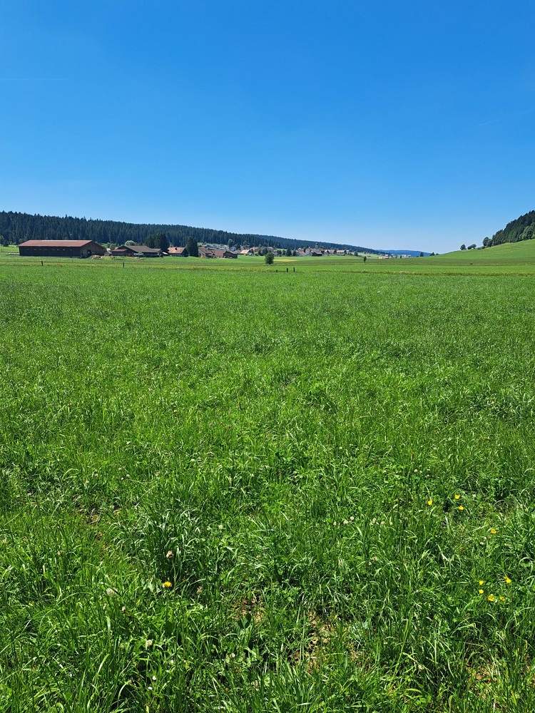
In the land of watches: the lush green region south of La Chaux-de-Fonds is renowned for its watchmaking industry. It’s nicknamed «the Swiss Siberia», but it was 32 °C when I was there! The town of La Chaux-de-Fonds is notable for being the second-highest town in Switzerland after Davos.
Although this route starts in the canton of Berne, most of the route (and the passes) are in the canton of Neuchâtel.
Technical specifications
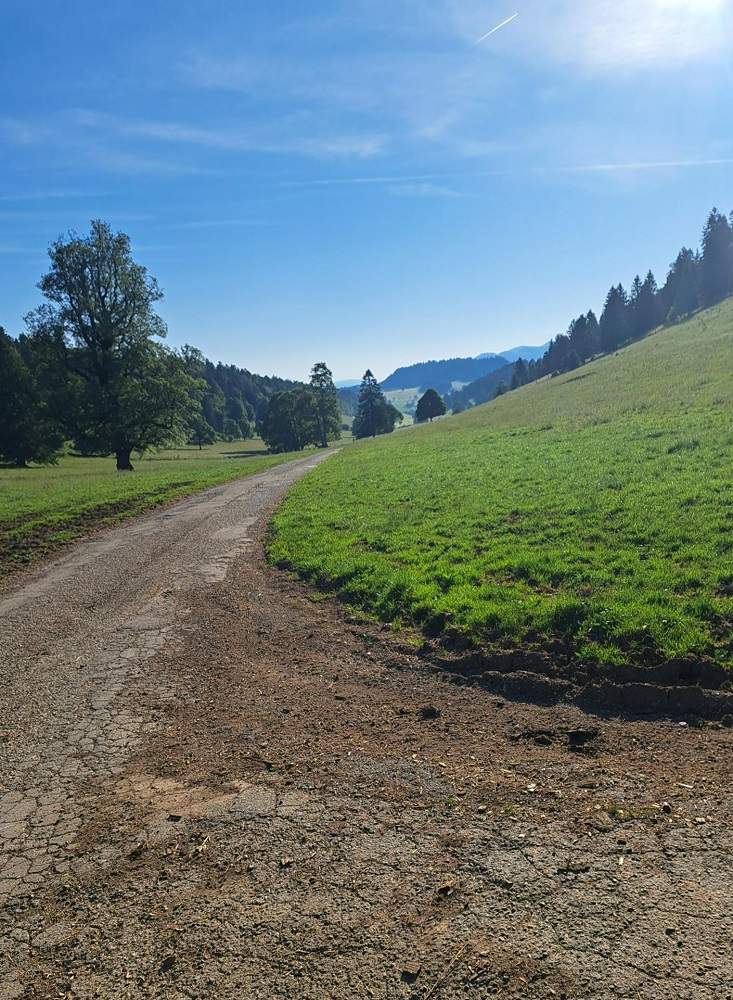
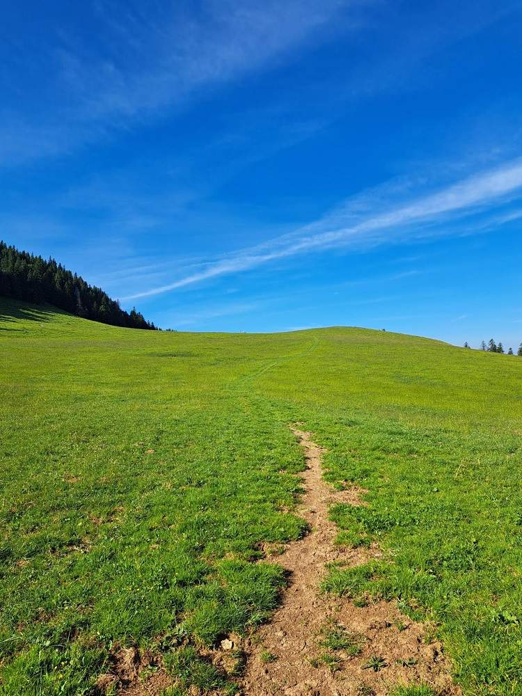
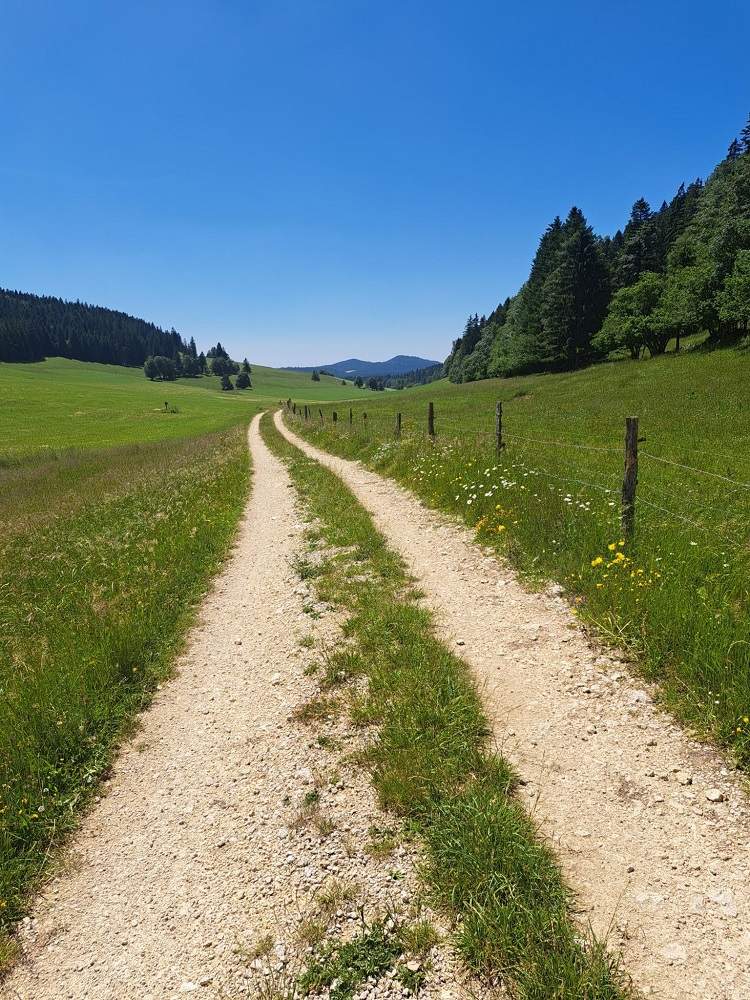
99.5% of the route is cycleable (%). Very few unpaved sections. This could easily be done on a road bike; however, the final 500 metres to reach the Col des Neigeux would need to be covered on foot.
On a gravel bike, this route is only suitable for experienced cyclists.
18 passes
| 1 - Col de la Cibourg | 1082 m | CH-BE-1085 |
| 2 - Col de Gautraine | 1205 m | CH-NE-1205 |
| 3 - Vue des Alpes pass | 1283 m | CH-NE-1283 |
| 4 - Tête de Ran pass | 1325m | CH-NE-1325 |
| 5 - Col des Neigeux | 1353 m | CH-NE-1353 |
| 6 - Col de Paiota | 1226 m | CH-NE-1226 |
| 7 - Col de la Tourne | 1170 m | CH-NE-1170 |
| 8 - Haut de la Côte | 1035 m | CH-NE-1035 |
| 9 - Col de Joux | 1171 m | CH-NE-1171 |
| 10 - Porte des Chaux | 1079 m | CH-NE-1079 |
| 11 - Haut du Quartier | 1114 m | CH-NE-1114 |
| 12 - Haut du Crosot | 1105 m | CH-NE-1105 |
| 13 - Bas de Bétod | 1095 m | CH-NE-1095 |
| 14 - Haut des Roussottes | 1185 m | CH-NE-1185 |
| 15 - Col de la Cagne | 1159 m | CH-NE-1159 |
| 16 - Col des Trois Clédars | 1135 m | CH-NE-1135 |
| 17 - Creux Rossel | 1137 m | CH-NE-1137a |
| 18 - Col de Boinod | 1158 m | CH-NE-1158 |
Keywords : Renan, Chaux-de-Fonds, Jura, centcols
Openrunner link, interactive map, profile, track : https://www.openrunner.com/route-details/23156325
This itinerary is provided for information only. The author accepts no liability, nor that of the Club des Cent Cols, for any imponderables due to the cyclist himself, the equipment used or anything to do with the road, tracks and paths, their surroundings or other users.
Photos

 Français
 English (UK)
 Italiano
 Deutsch
 Español
 Nederlands (België)
In the tourist description, Philippe says that the region he is visiting is nicknamed «Swiss Siberia», which is not entirely accurate.
«The »Siberia of Switzerland" is actually further west, at La Brévine (and Lac des Taillères), which holds the official Swiss cold record of -41.8°C, set on 12 January 1987.
Otherwise, a magnificent route and region.
Best regards
Michel Boni CC 3848
Michel, I relied on the sign but your details are interesting and I'm in no hurry to go and check the extreme temperatures.