FR-07 Saint-Étienne-de-Boulogne – 80 km route, 1,600 m elevation gain, 14 mountain passes
Author description
Author : René Mercier
Course : carried out in June 2023
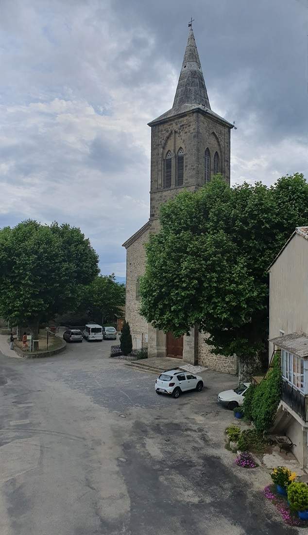
Departure : Saint-Étienne-de-Boulogne, as seen from the church in this little village. You can park your car there in the shade.
Tourist information
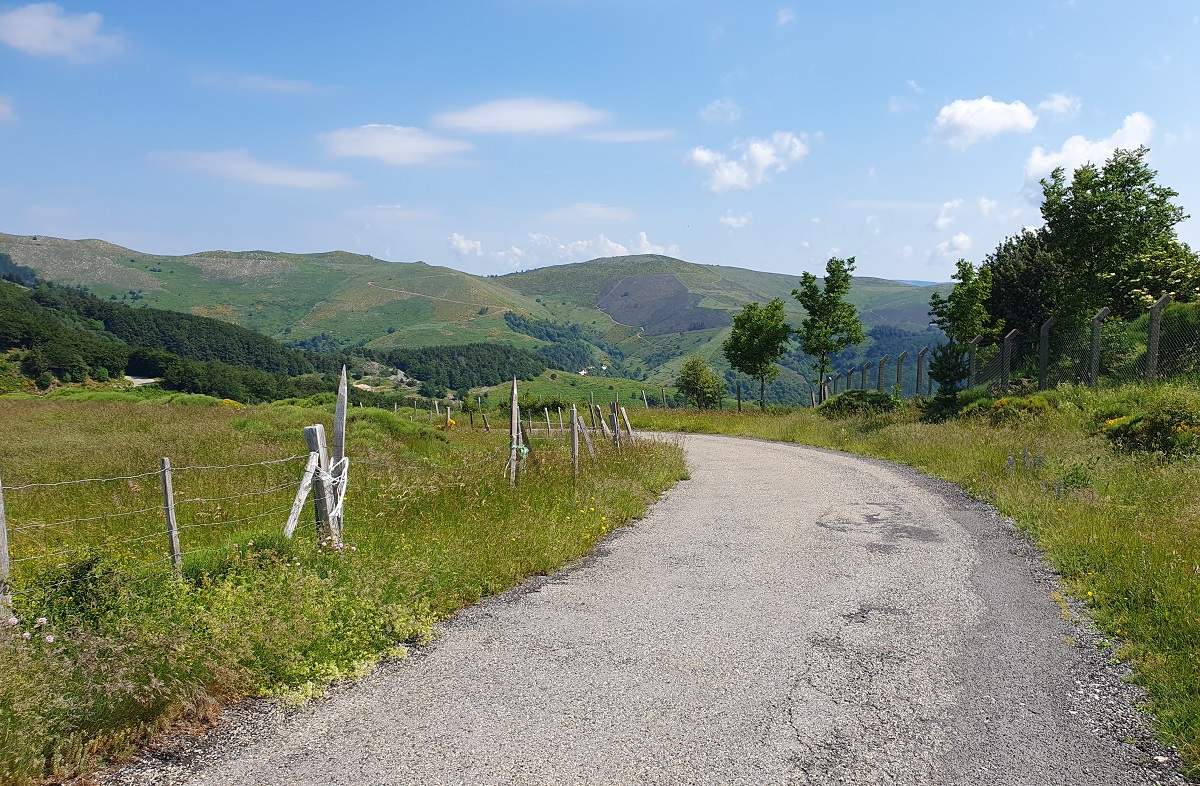
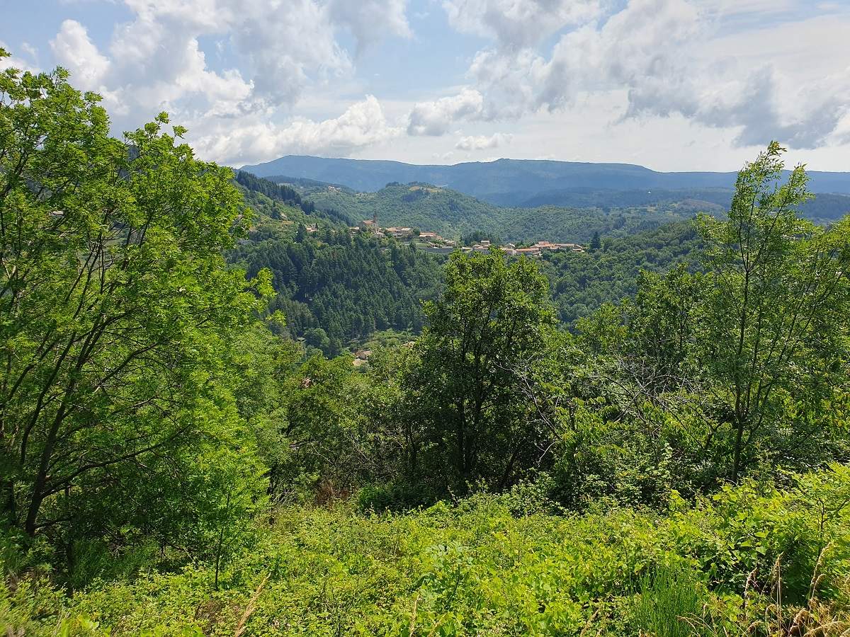
The Ardèche is a land of cycling. This tour takes in part of the Monts d'Ardèche between 400 m and 1000 m altitude. The countryside is lush and green, and the villages are small and well-maintained. We pass near the castle of Saint-Michel-de-Boulogne. Once you’ve passed the halfway point, at the Col de Vals, you can add another 6 km and stop off to quench your thirst with the famous mineral water from Vals-les-Bains (spa town).
Technical specifications
The route is almost entirely on roads (100 %); there is a 100-metre stretch of track to reach Le Coulet. There is very little traffic, except between the Auriolles and Arénier passes, but this departmental road linking Aubenas to Privas is very wide.
There are few places to get water, so don’t miss the tap on the right-hand side near the church of Saint-Joseph-des-Bancs (otherwise, try the cemeteries). You’ll also find water in Saint-Andéol-de-Vals, two-thirds of the way along the route, and in La Planche de Gourdon near the town hall.
You can easily add the Col de Valaurie to this route (FR-07-0649) just after the Col d’Auriolles, and possibly a few passes along footpaths a few hundred metres from the road route.
14 passes
| 1 - Col d'Auriolles | 495 m | FR-07-0495 |
| 2 - Col de l'Escrinet | 787 m | FR-07-0787 |
| 3 - Col de l'Arénier | 682 m | FR-07-0682 |
| 4 - Col des Pierres de Faux | 793 m | FR-07-0793 |
| 5 - Col de Sarrasset | 825 m | FR-07-0825 |
| 6 - Col de la Fayolle | 877 m | FR-07-0877 |
| 7 - Col de Miraud | 986 m | FR-07-0986 |
| 8 - Goulet de Peyrille | 832 m | FR-07-0832 |
| 9 - Col de Conchis | 694 m | FR-07-0694 |
| 10 - Col de Genestelle | 648 m | FR-07-0648 |
| 11 - Col de Montagnac | 558 m | FR-07-0558 |
| 12 - Col de Vals | 402 m | FR-07-0402 |
| 13 - Le Couletet | 605 m | FR-07-0605 |
| 14 - Le Coulet | 655 m | FR-07-0650 |
Keywords : Saint-Étienne-de-Boulogne, Vals, Genestelle, Saint-Joseph-des-Bancs, Centcols
Openrunner link, interactive map, profile, track : https://www.openrunner.com/route-details/23175141
This itinerary is provided for information only. The author accepts no liability, nor that of the Club des Cent Cols, for any imponderables due to the cyclist himself, the equipment used or anything to do with the road, tracks and paths, their surroundings or other users.
Photos

 Français
 English (UK)
 Italiano
 Deutsch
 Español
 Nederlands (België)
Information about a water point in La Planche de Gourdon, near the town hall.
Thank you, Thierry, for your comment; the information will be added to the article.