FR-34 Saint-Mathieu-de-Tréviers – Route: 88 km, elevation gain: 1,150 m, 5 cols
Author description
Author : René Mercier
Course : carried out in September 2026
Departure : At the northern exit of Saint-Mathieu-de-Tréviers (D1–D17 junction), park near the roundabout; there are plenty of parking spaces on the adjacent roads.
Tourist information
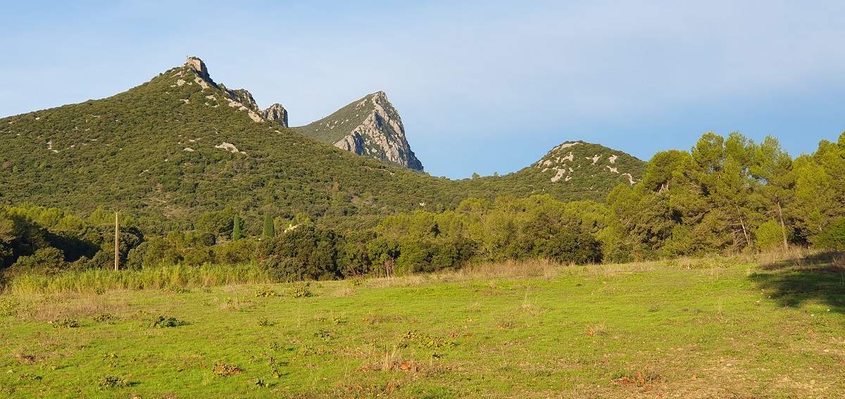
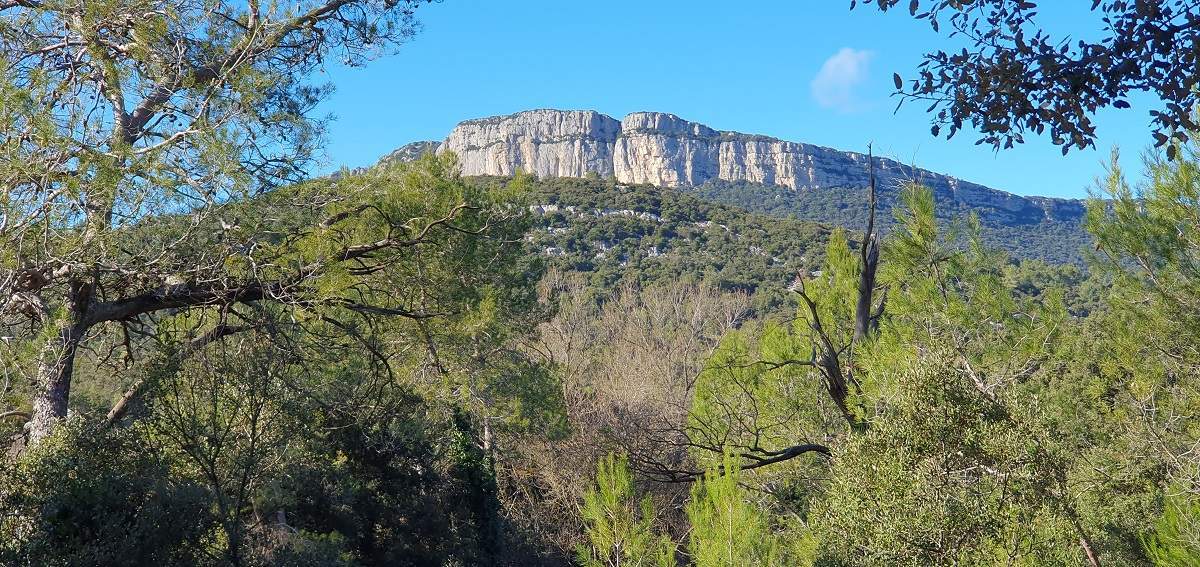
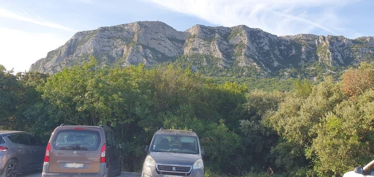
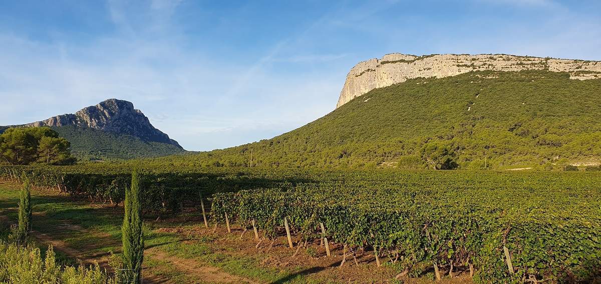
This route winds through Mediterranean landscapes dotted with caves and sinkholes. It is advisable to follow the recommended direction in order to make the most of the sunlight. From the start, the route runs alongside Pic Saint-Loup and the Montagne de l’Hortus for 7 km. From the col, you can see the peak’s north face, which is steep and ideal for climbing. Pic Saint-Loup is formed from an accumulation of marine sediments dating from the Jurassic period. It can be climbed on foot from the village of Cazevieille to the south via a rather challenging path to its summit and its cross at 658 m. The Montagne de l’Hortus, which lies opposite, is of more recent origin (Cretaceous) and is a small limestone plateau. The surroundings of these high limestone crags, overgrown with Mediterranean flora and fragrant with Mediterranean scents, produce famous wines.
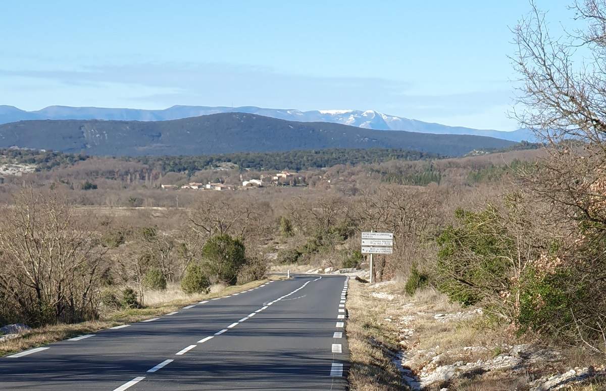
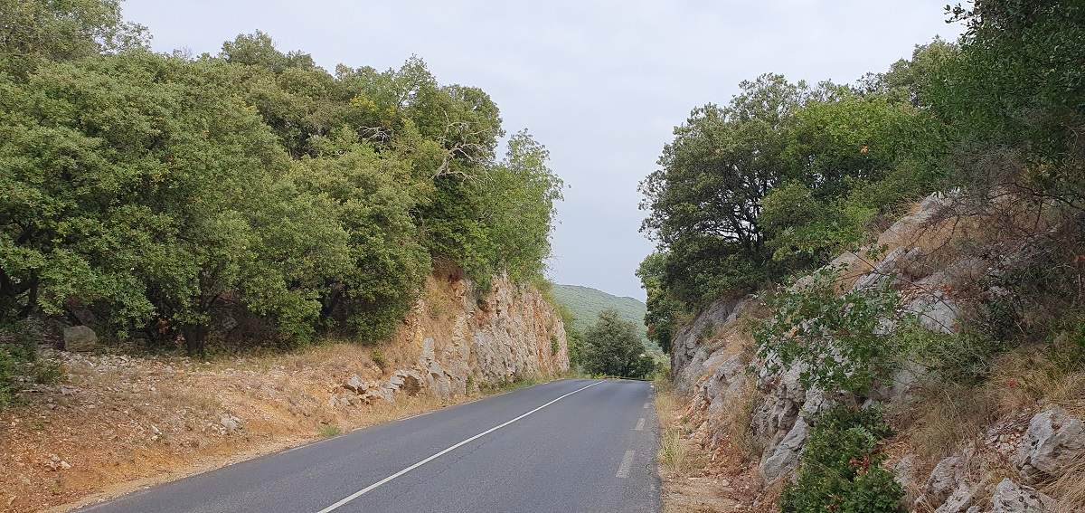
After two hairpin bends below the col, you drive with the Séranne mountain in front of you and, in the background further to the north, you can make out Mont Aigoual.
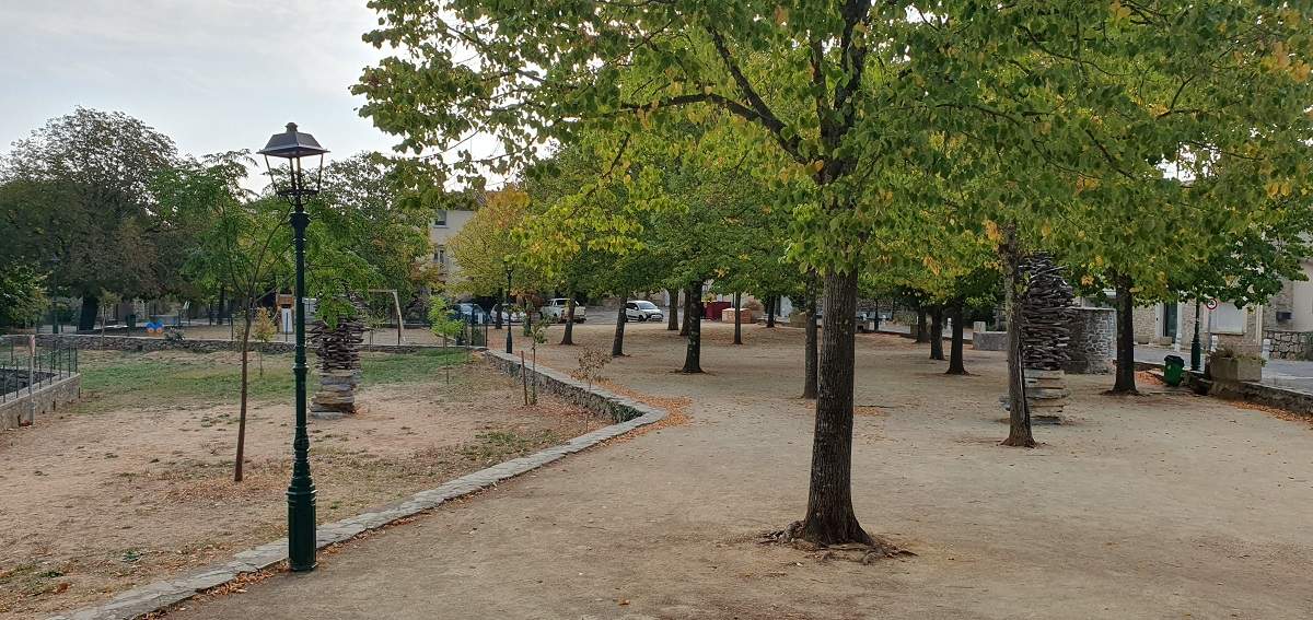
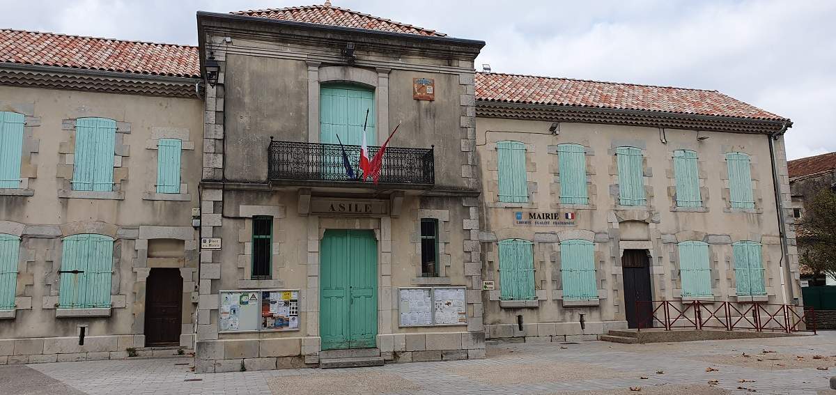
You should stop off to visit the village of Saint-Martin-de-Londres and its main square, the narrow streets with their stone-faced buildings, the Romanesque church and the clock tower.
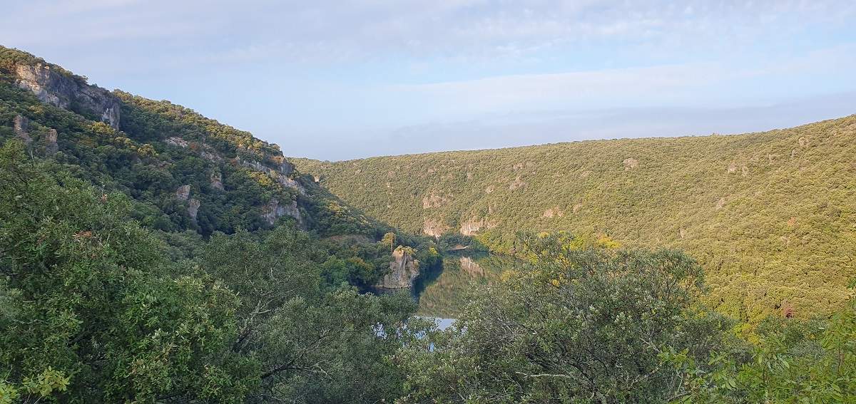
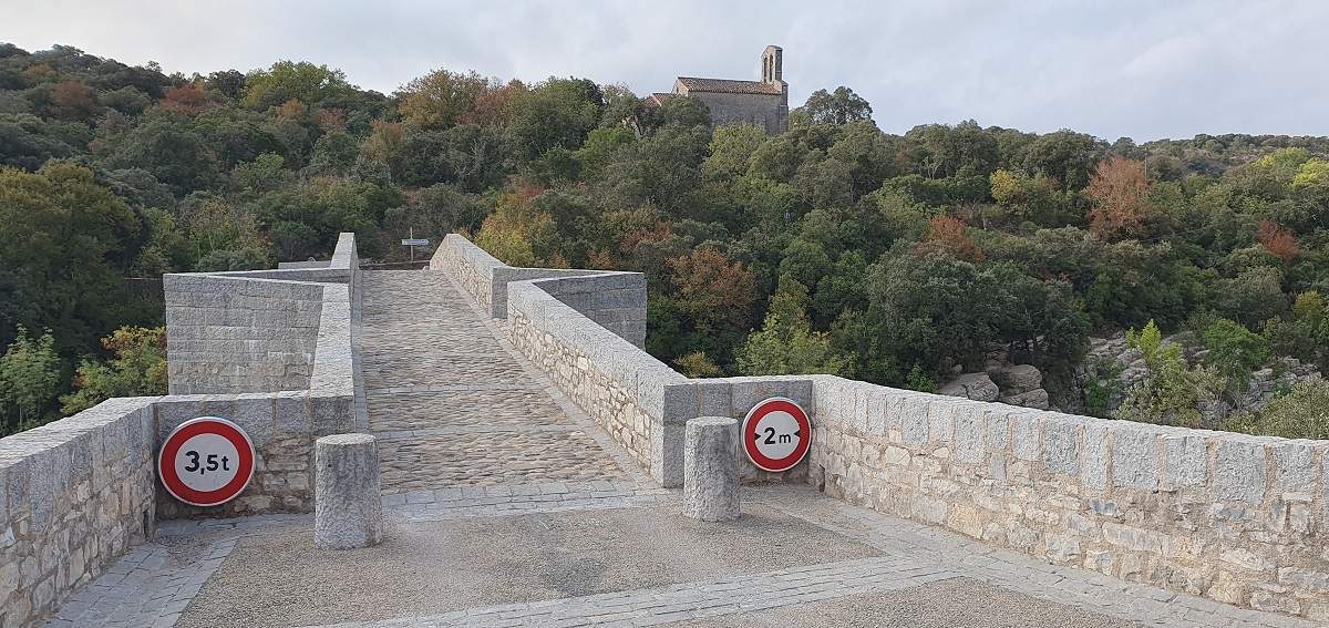
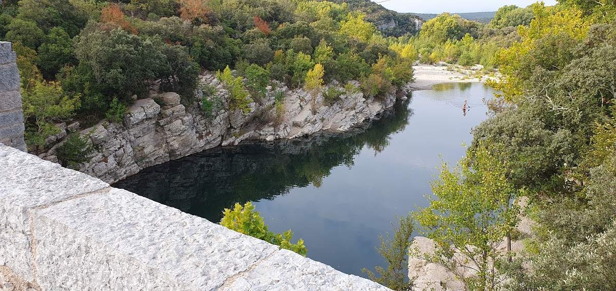
Between the hamlet of Le Frouzet and Brissac, there are some lovely views over the River Hérault, particularly from the Saint-Étienne d’Issensac bridge, from where you can see the Saint-Étienne chapel.
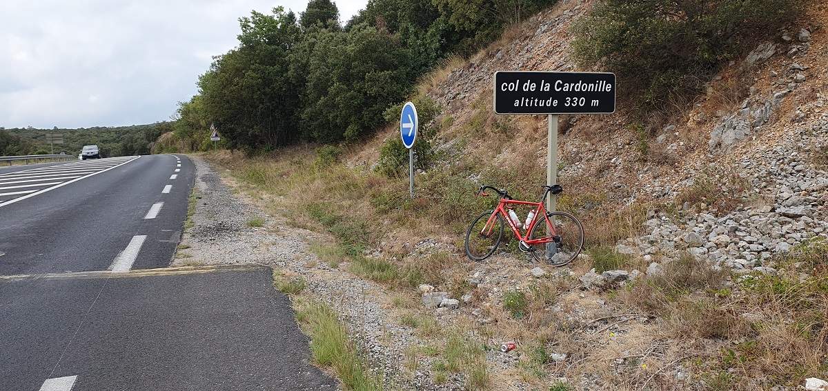
Seven kilometres past the col de la Cardonille, be sure to visit the hamlet of Ferrière-les-Verreries, with its stone-built houses (300 metres from the route).
After Valflaunès, amidst the vineyards, you can see the Hortus from a different angle, along with the Pic Saint-Loup.
Technical specifications
The route, which runs entirely along roads, presents few difficulties. It can be shortened by around fifteen kilometres by avoiding the Saint-Martin-de-Londres/Causse-de-la-Selle section, instead passing through Notre-Dame-de-Londres and over the Saint-Étienne d’Issensac bridge.
After Saint-Martin-de-Londres, the final kilometre of the climb has a gradient of between 6 and 8 per cent.
At km 24, once you’ve crossed the Hérault, the first kilometre of the climb has a gradient of between 6 and 10 per cent.
The final kilometre of the col de la Cardonille has a gradient of between 6 and 11 per cent, and is situated on a busy road.
Refreshments:
- Saint-Mathieu-de-Tréviers: cafés and shops on the high street; a tap outside the bakery.
- Saint-Martin-de-Londres: a fountain in the main square, cafés, restaurants and shops.
- Causse-de-la-Selle: toilets and a tap in the village square, restaurant.
- Saint-Bauzille-de-Putois: toilets and shops on the way to the village centre.
- Pompignan: a fountain between the town hall and the church.
5 passes
| 1 – Colonel de Fambetou | 244 m | FR-34-0244 |
| 2 – Col de la Cire | 194 m | FR-34-0196 |
| 3 – Col de la Cardonille | 330 metres | FR-34-0330a |
| 4 – Le Trescol | 325 m | FR-30-0325a |
| 5 – Not London | 318 m | FR-34-0318 |
Keywords : Pic Saint-Loup, Saint-Martin-de-Londres, Saint-Mathieu-de-Tréviers, Cardonille, Centcols
Openrunner link, interactive map, profile, track : https://www.openrunner.com/route-details/25602848
This itinerary is provided for information only. The author accepts no liability, nor that of the Club des Cent Cols, for any imponderables due to the cyclist himself, the equipment used or anything to do with the road, tracks and paths, their surroundings or other users.
Photos
 Français
 English (UK)
 Italiano
 Deutsch
 Español
 Nederlands (België)