FR-09 Saint-Félix-de-Rieutord – Route: 47 km, elevation gain: 750 m, 10 cols
Author description
Author : René Mercier
Course : carried out in September 2026
Departure : car park at the village hall in Saint-Félix-de-Rieutord, on the D 410 at the western exit of the village.
Tourist information
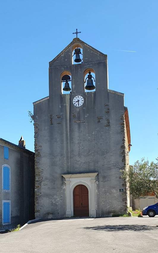
Just a stone’s throw from Pamiers, this undulating route winds its way through countryside, forests, low hills and farmland. The village of Saint-Félix-de-Rieutord is centred around its church. You can admire its bell tower, an architectural feature common in the Toulouse region.
Technical specifications
This route is 100 per cent cycle-friendly, with altitudes ranging from 350 m to 600 m. It is a fairly easy ride, though there is one major challenge after Gudas: the col de la Fage features a 1,600-metre steep climb with gradients of between 8 per cent and 13 per cent. The col de la Croix is at the end of a 1 km tarmac local road, contrary to what the maps suggest.
Traffic is light along most of the route.
10 passes
| 1 – Colonel de la Fage | 551 m | FR-09-0551 |
| 2 – Colonel de Maffé | 575 m | FR-09-0575a |
| 3 – Col de Cante Couyoul | 565 m | FR-09-0565 |
| 4 – Col de Py | 525 m | FR-09-0525 |
| 5 – Col de Charcany | 571 m | FR-09-0571 |
| 6 – Col del Pasadou | 573 m | FR-09-0573 |
| 7 – Col de la Chioulade | 523 m | FR-09-0523a |
| 8 – Col de Saint-Christaut | 514 m | FR-09-0514 |
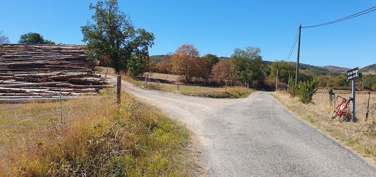
| 9 – Col de Calzan | 472 m | FR-09-0472 |
| 10 – Col de la Croix | 453 m | FR-09-0453 |
Keywords : Saint-Félix-de-Rieutord, Pamiers, Py, Ventenac, Centcols
Openrunner link, interactive map, profile, track : https://www.openrunner.com/route-details/25604991
This itinerary is provided for information only. The author accepts no liability, nor that of the Club des Cent Cols, for any imponderables due to the cyclist himself, the equipment used or anything to do with the road, tracks and paths, their surroundings or other users.
Photos
 Français
 English (UK)
 Italiano
 Deutsch
 Español
 Nederlands (België)