FR-06 Tende Est - Mountain bike 79 km, D+ 2540 m, 20 passes
Author description
Author : René Rial
Course carried out on 7 September 2016
Departure At the centre of Tende, north exit, near the station. Alt: 824 m.
Tourist information
The communes of Tende and La Brigue occupy the easternmost part of the Alpes-Maritimes, along the border with Liguria and Piedmont. The many military works along the way bear witness to the turbulent history of the region. The sanctuary of Notre-Dame-des-Fontaines in La Brigue (km 10.2) is home to a remarkable 15th-century fresco.e century.
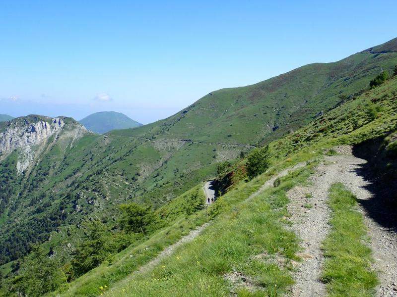
There are numerous viewpoints to admire along the way.
Technical specifications
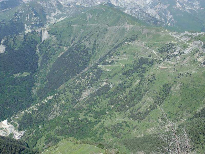
After Notre-Dame-des-Fontaines, the route climbs on a long, beautiful road (R1/R2) to the Pas du Tanarel. This is followed by a series of passes on partly cycleable paths, which require a short push to the Col de la Celle Vieille (S2/S3). It then continues on another R1/R2 path to the passes on the route de Tenda. A series of 48 hairpin bends leads back to the village of Tende.
Many of the passes cross the border.
As an option, after the Col de la Celle Vieille, thirty metres to the right and five metres higher, off the path, is the Colle di Capoves (on the border). FR-06-2207.
20 bottles
| Col Linaire | 1430 m | FR-06-1430 |
| Baisse de Sanson Ouest / Bassa di Sanson | 1693 m | FR-06-1694 |
| Baisse de Sanson Est / Colla di Sanson | 1680 m | FR-06-1680a |
| Pas de Colle Ardente / Passo di Collardente | 1617 m | FR-06-1599 |
| Decrease in Fraches / Decrease in Fraches | 1599 m | FR-06-1599a |
| Col de la Lariée | 1956 m | FR-06-1956 |
| Pas du Tanarel / Passo del Tanarello | 2041 m | FR-06-2045 |
| Col de Gravairole / Col de Gravairole | 2250 m | FR-06-2250 |
| Col Roux / Colla Rossa | 2175 m | FR-06-2175 |
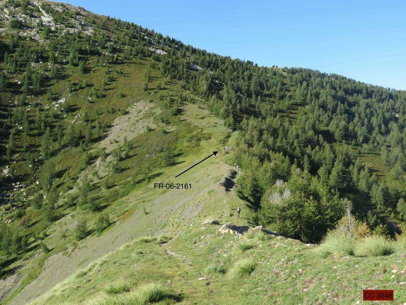
| Col de l'Evêque / Col de l'Eveque | 2161 m | FR-06-2161 |
| Col de la Celle Vieille / Col de la Celle Vieille | 2099 m | FR-06-2099 |
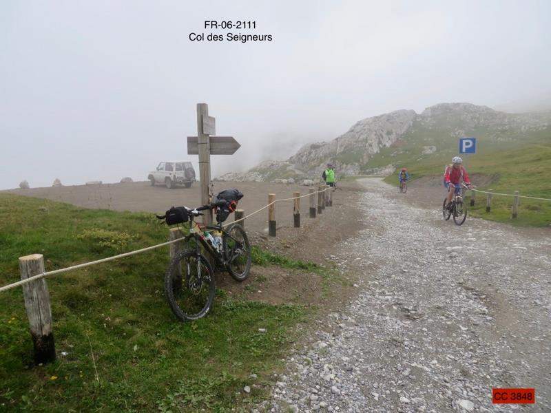
| Col des Seigneurs / Colle dei Signori | 2111 m | FR-06-2111 |
| Col de Marguareis | 2085 m | FR-06-2085 |
| Col de Chevolail | 2235 m | FR-06-2235 |
| Col de la Boaïra / Colle della Boaria | 2102 m | FR-06-2102 |
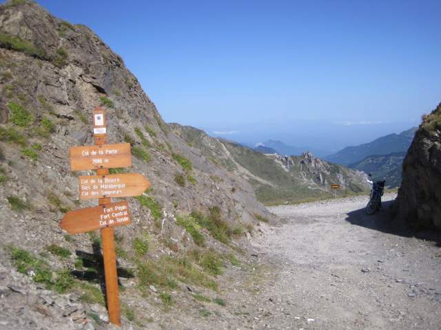
| Col de la Perle / Col de la Perle | 2086 m | FR-06-2086 |
| Colletto Campanino | 2142 m | IT-CN-2142 |
| Col de Cannelle / Col de Cannelle | 1882 m | FR-06-1882 |
| Col de Tende Est / Col de Tende Est | 1890 m | FR-06-1890 |
| Col de Tende Ouest / Colle di Tenda | 1871 m | FR-06-1871 |
Keywords Tende, Tenda, Saint-Dalmas-de-Tende, La Brigue, Centcols
Openrunner link, interactive map, profile, track : https://www.openrunner.com/route-details/6593420
This itinerary is provided for information only. The author accepts no liability, nor that of the Club des Cent Cols, for any imponderables due to the cyclist himself, the equipment used or anything to do with the road, tracks and paths, their surroundings or other users.
Photos


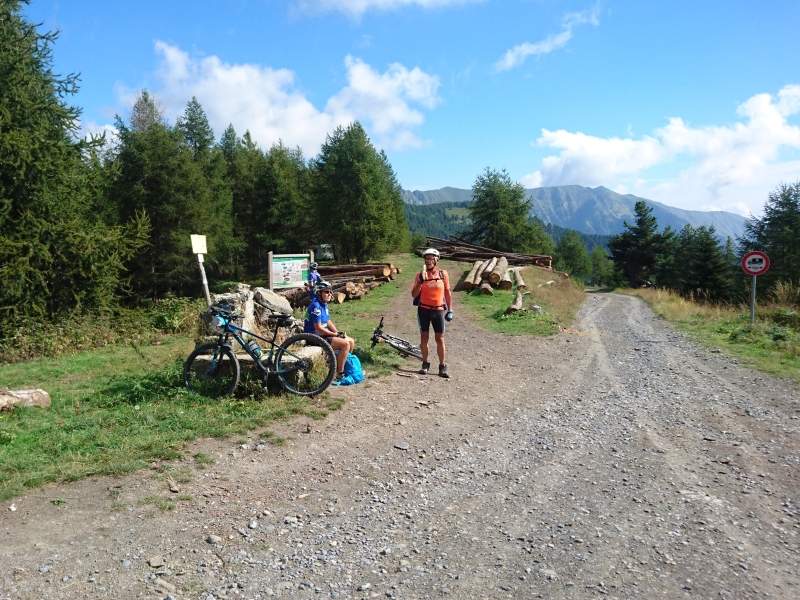
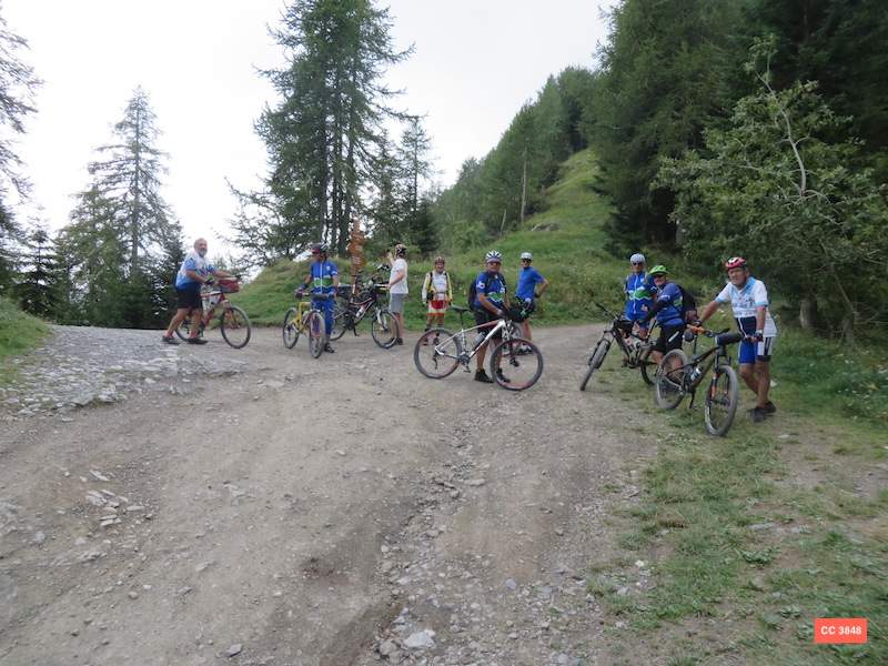
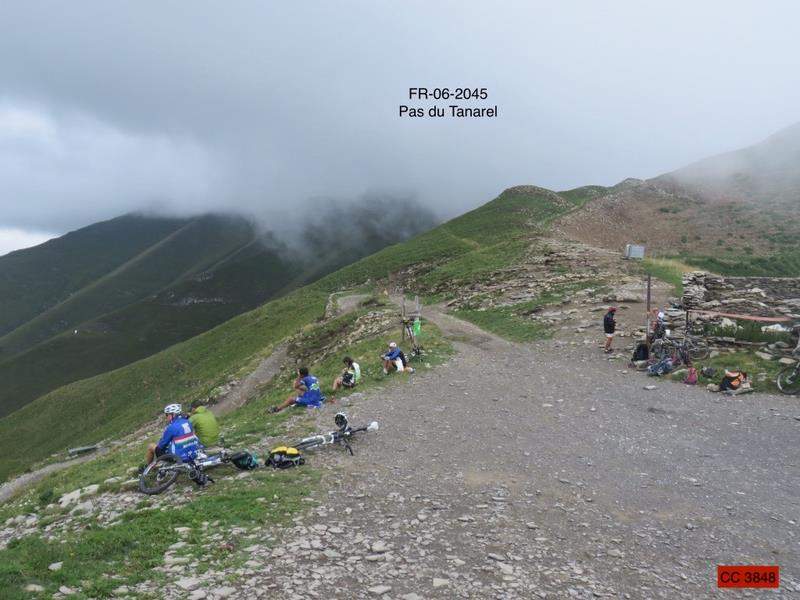
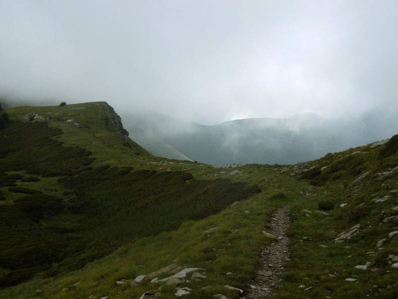
You can find these and other photos in this section. photo album.