The Telegraphe Pass
Toponymy
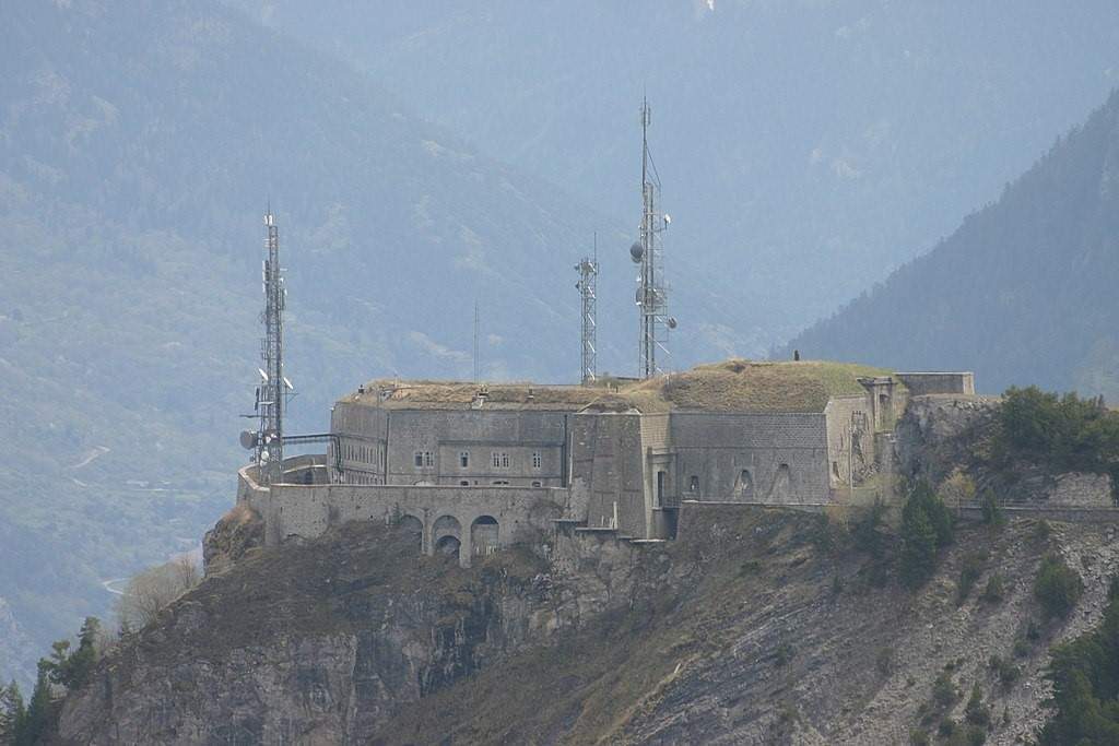
The Telegraphe Pass (FR-73-1566) is named after a tower in the Chappe telegraphbuilt in 1807 on the edge of the cliff. The Fort du Télégraphe close to the pass took full advantage of its strategic position above the Maurienne valley.
Geographical location
Massif
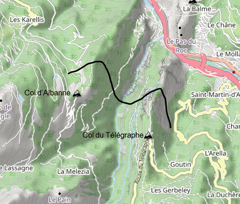
The Col du Télégraphe is located in the Cerces massif,
Geology
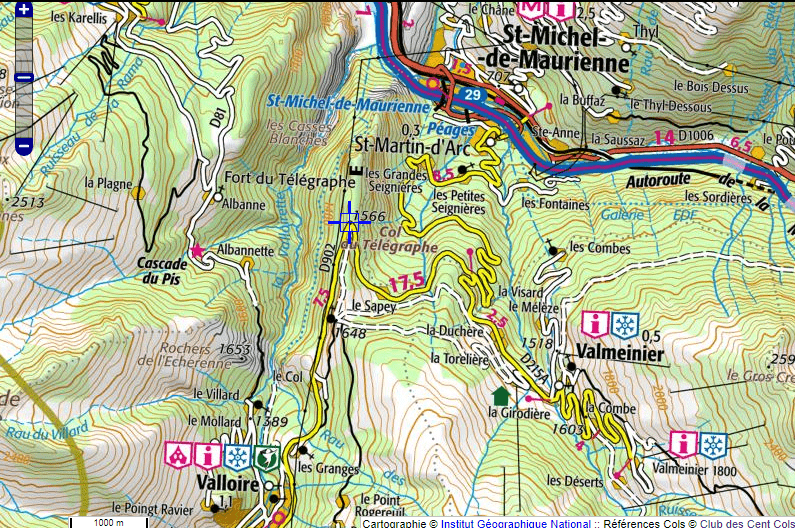
The Col du Télégraphe road, as soon as you leave St-Michel-de-Maurienne, is dominated to the west by the rocky bar of the Pas du Roc. The lower part of this limestone massif is crossed by the river Arc, which has carved out the Défilé du Pas du Roc gorge. The massif then rises steeply to the Fort and the Col du Télégraphe.
As soon as you cross the pass, the view plunges down into the Valloirette valley. In fact, the torrent dug its bed in the concave part of the folding of the relief under the action of tectonic thrusts, the syncline, while the Fort and pass are on the convex part of the same folding, the eastern anticline.
The Col d'Albanne (FR-73-1652) is located on the western anticline.
Hydrography
The pass is located on a LPE between tributaries of the Arc, including the Valloirette to the west, and torrents tributary to the Ruisseau des Seignes to the east.
Access and neighbouring pass
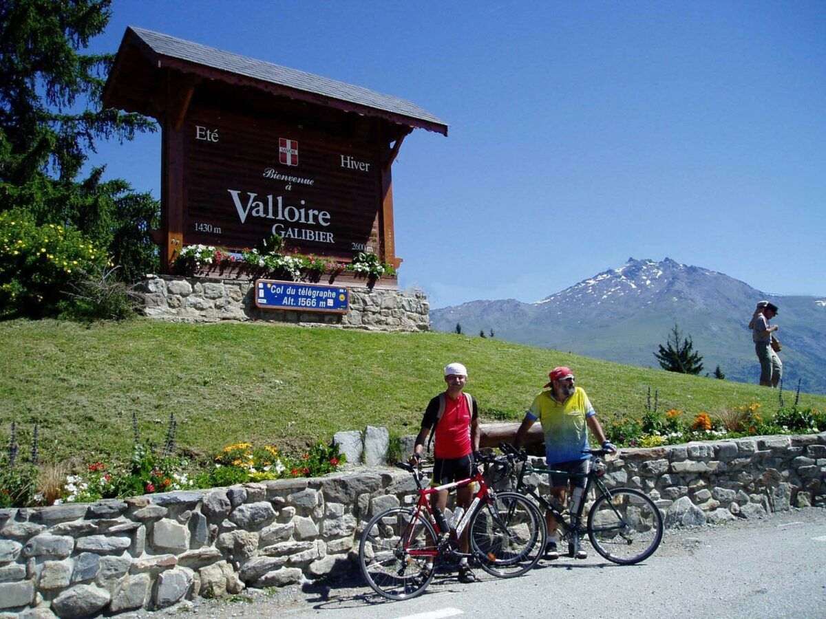
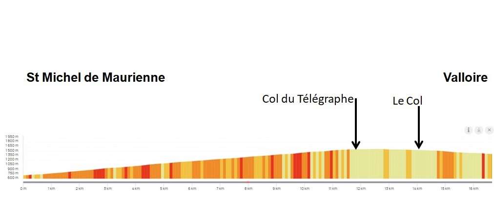
The D902 links Saint-Michel de Maurienne (to the north, 11.8 km - alt. 730 m) to Valloire (to the south, 4.8 km - alt. 1430 m) via the Col du Télégraphe.
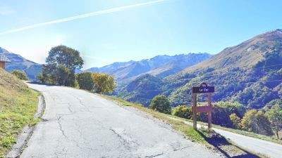
On the descent to Valloire, the D902 passes through the hamlet of Le Col (FR-73-1522), it is a flank pass listed in the Club des Cent Cols catalogue.
It lies on a watershed between tributaries of the Valloirette.
Modification of access
During the 1936 to 1942 BRAs (the BRAs were held every year), the route went through a tunnel that started around 500 m before the current crossing (on the Valloire side) and came out in a curve near the cantonal house that is still standing on the Arc valley side. This tunnel was destroyed by the Germans in 1944. (the ARO did not take place in 1943 and 1944). A road over the current pass has been opened. Collapses and vegetation have completely blocked the entrance to this tunnel upstream and downstream, and not even the slightest trace of it can be seen ...
What to see - tourism
1 km north of the pass, Le Fort du Télégraphe(rarely called Fort Berwick), is at an altitude of 1,620 metres. It overlooks the Maurienne valley by 900 metres.
This was originally the site of a railway station. telegraphy Chappe (optical telegraphy with articulated arms), located on the line from Lyon to Milan (then Venice in 1809).
The fort was built between 1886 and 1890, and belongs to the Séré de Rivières system.
The fort is open to visitors every summer from July to August,
Cycling and cycle tourism
The various tests pass over the Col du Télégraphe ... when they pass over the Galibier pass.
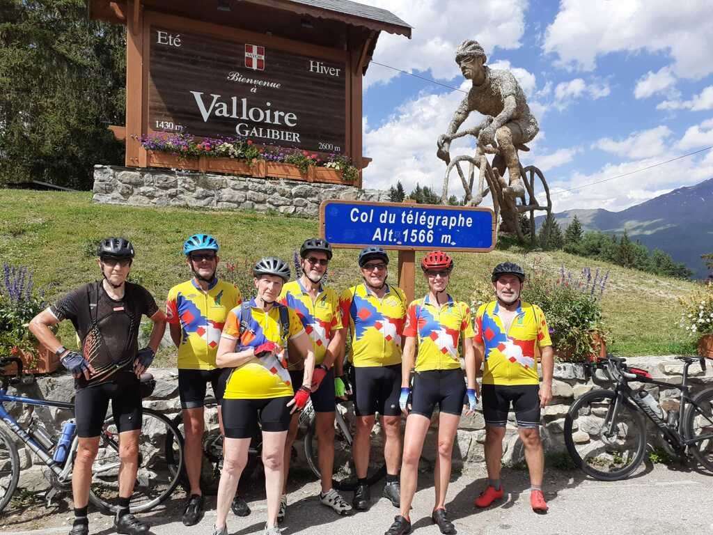
(note: the bicycle statue is recent - not in old photos or on the internet)
Profile
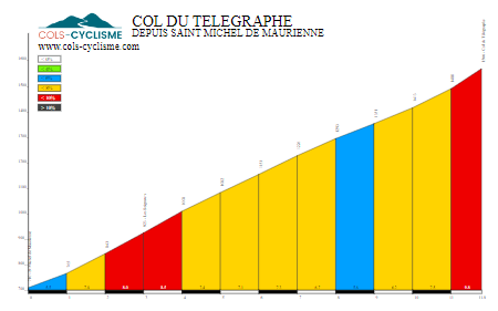
For the Maurienne side (11.8 km, D+: 856 m): a few passages at more than 10 % (in red)
And from St-Michel-de-Maurienne to Valloire (Openrunner)
An article by Gérard Galland
and Bernard Giraudeau (for the geology section)