The Plan Nicolas mountain pass
Toponymy
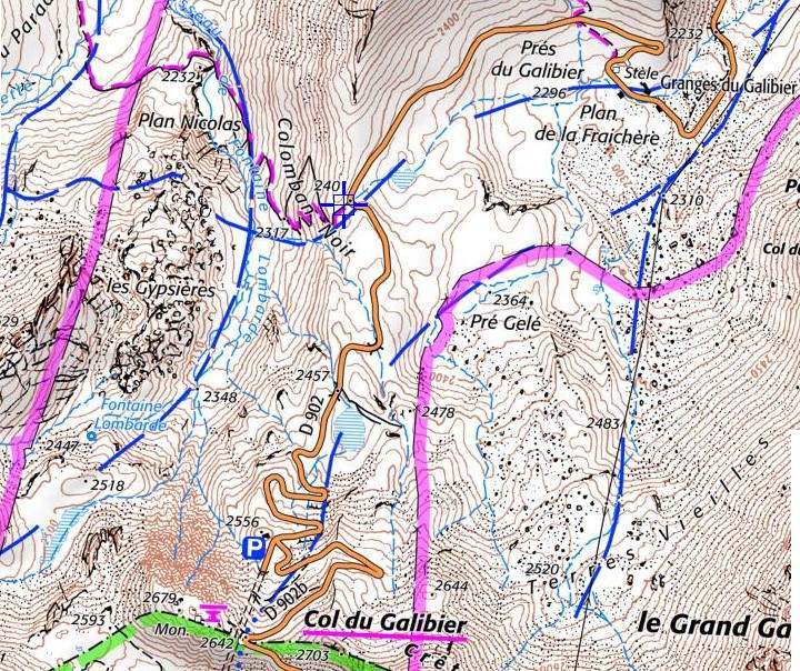
The Collet du Plan Nicolas (FR-73-2406) is the eponym of an area to the north-west of the pass (see map above).
It is also known as the Col du Colomban Noir (Geo-alp)
Geographical location
Massif
The Collet de Plan Nicolas is located to the east of the Arves massif.
The summit of Colomban Noir (at around 2,500 m) lies immediately to the north of Le Collet.
Below Colomban Noir, the IGN map (see above) shows an area to the north-west known as "Plan Nicolas".
Hydrography
The pass separates the Valloirette valley, on the north side of the Galibier route, from the valley of the Lauzette torrent, a tributary of the Valloirette above Bonnenuit.
Access
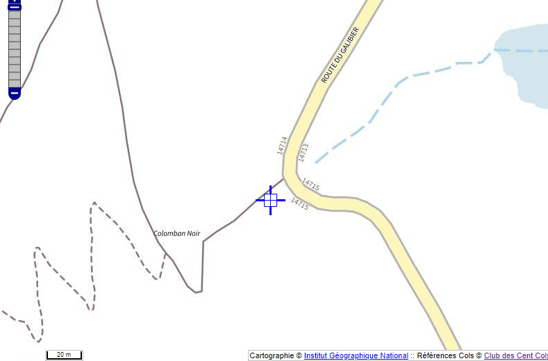
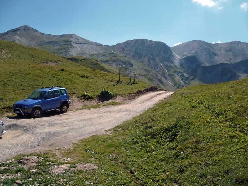
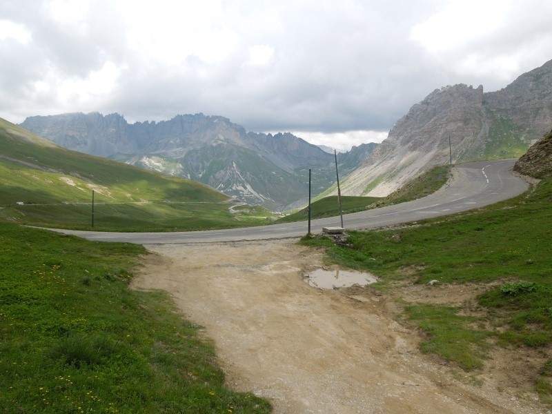
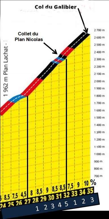
The Collet du Plan Nicolas can be crossed on the way up the Galibier, 5km after Plan Lachat and 3km from the summit.
Lhe geographical pass is just a few metres away, on the embankment to the right of the road..
The Galibier route on the right
What to see - tourism
At the Granges du Galibier (altitude 2300 m), on the right as you climb, 1.6 km downhill from the Collet, you'll find :
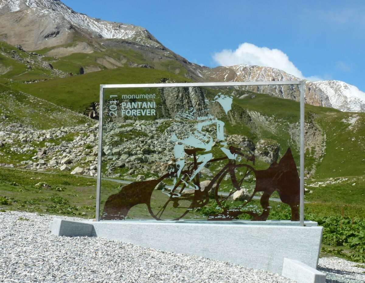
- a "Pantani Forever" stele in tribute to Italian climber Marco Pantani (who died in 2004). It was unveiled in June 2011 at the exact spot where he attacked in the Tour de France on 27 July 1998 to beat Jan Ulrich by almost 9 minutes.
- The Fromagerie Coopérative de la Vallée des Arves (open from mid-June to mid-September). Beaufort is good!
Cycling and cycle tourism
It goes without saying that every time a race has passed over the Col du Galibier, it has passed over the Collet du Plan Nicolas.
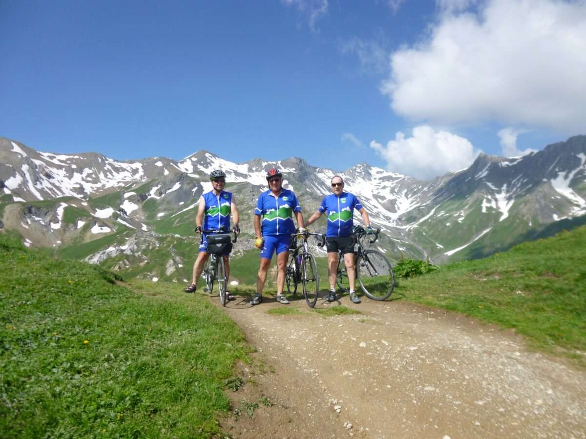
On 24 July 2013 I had the pleasure of accompanying 3 presidents of the Club des Cents cols on their ascent of the Galibier, gathered here at the Collet de Plan Nicolas for Henri Dusseau's 80th birthday. From left to right:
- Régis Paraz (current Chairman in 2013),
- Henri Dusseau (Honorary President)
- Jean Perdoux (founding president of the Cent Cols club).
Profile
An article by Gérard Galland