The Col des Rochilles
The Col des Rochilles, extended by the seuil des Rochilles, is a very old Alpine pass linking the Maurienne and Clarée valleys towards Briançon. In fact, it is easier than the Col du Galibier, as its altitude is 150 m lower. But with the tarmac road having taken over, the Col des Rochilles remained the domain of the military and today that of hikers. The Rochilles area lends itself well to an «off-tarmac» discovery of the mountains: a 95% cycle path, a grandiose landscape untouched by tourist development, beautiful emerald-green lakes at altitude, and.... five passes over 2000 m: an essential passport for entering the brotherhood.
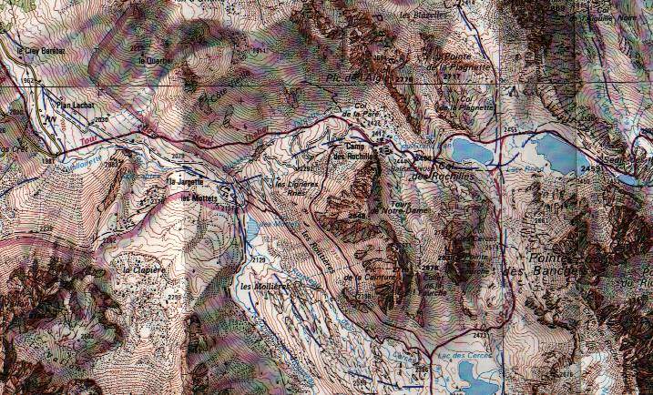
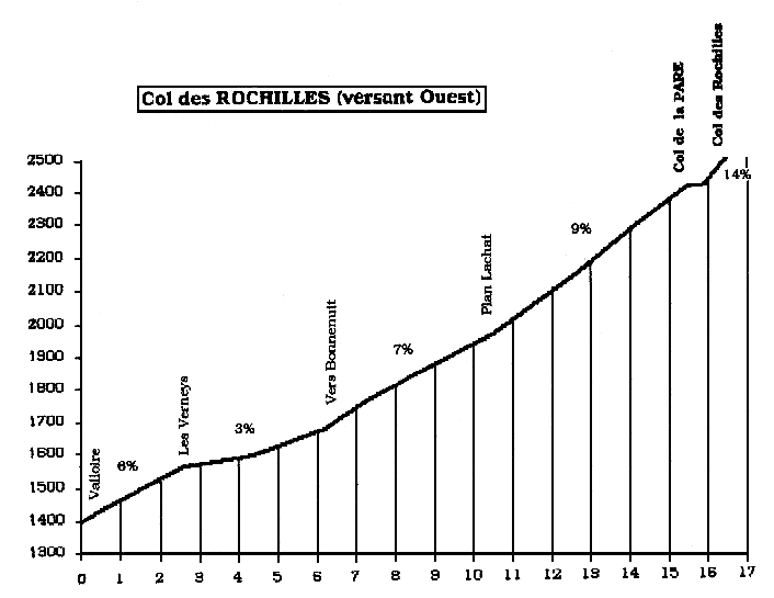
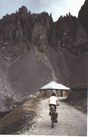
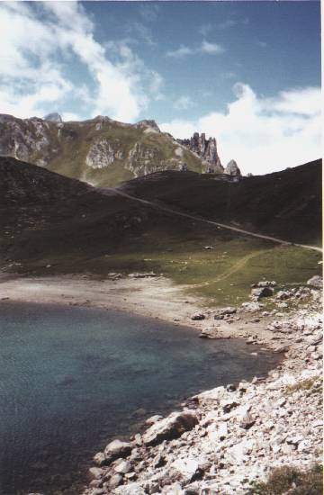
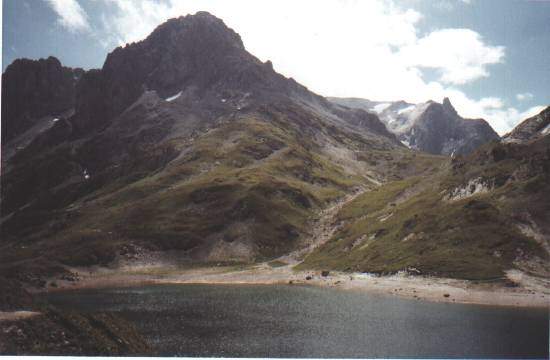
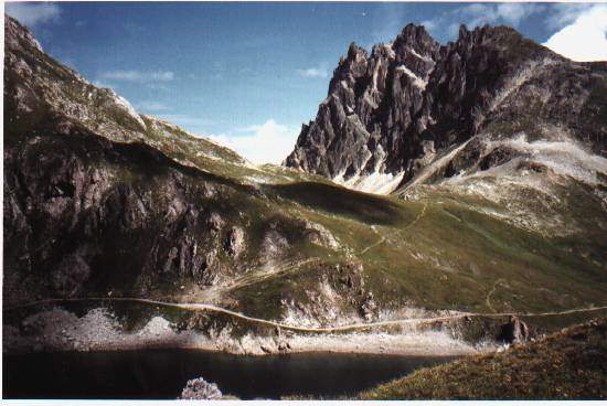
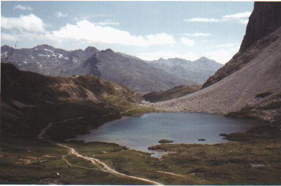
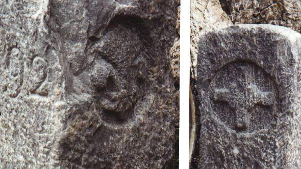
Leaving Valloire, take the D902 towards Galibier. At Plan Lachat, turn left onto a wide track (R1). This takes you up the Valloirette valley to a sheepfold called «les Mottets». This is the start of a series of well-marked hairpin bends that reveal the envied Galibier route and the superb Aiguilles d'Arve in the distance. The Col de la PLATE opens onto a very flat track, level with a small building dating back to military times. You then come to a large cirque with more or less abandoned barracks at its centre: this is the Rochilles camp. All that remains is to make the final assault on a track that requires pushing to reach the Col des Rochilles. The site is superb. On the other side of the mountain, two pretty lakes glisten, overlooked by jagged peaks, while the Clarée valley opens up in the distance. At the top of this pass, you can turn right onto an S2 path (rare S1 sections) that leads to the Col des CERCES. You can return to Les Mottets by crossing this pass and then following the Lac des Cerces. Alternatively, back at the Col des Rochilles, take the R1 trail down to the north shore of Lac du Grand Ban. From here, a S2 path leads easily to the Col de la PLAGNETTE. Return to the lakeside. The R1 trail runs alongside Lac Rond, at the end of which is the SEUIL des ROCHILLES (former boundary markers). Beyond this, there is only a S2-3 trail, with short S4 sections, to the Drayères refuge in the Clarée valley. The ascent on this eastern slope is therefore much more difficult, so it's better to have to descend it! Beyond the refuge, the R1 track joins the tarmac road leading to Briançon via Névache. On the way, admire one of the last wild valleys in the Alps: the sublime Vallée de la Clarée.
René Poty
73-2496 col des Rochilles 54 3435-E 277-095