DE-BW Black Forest Bad Krozingen - Gravel 63 km, D+ 1490 m, 12 passes
Author description
Author Jean-Luc Ceccato
Course Completed on 12 June 2021
Departure Bad Krozingen. Alt: 240 m. Parking near the cemetery. But you can also start from Staufen im Breisgau.
Tourist information
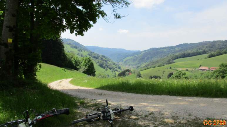
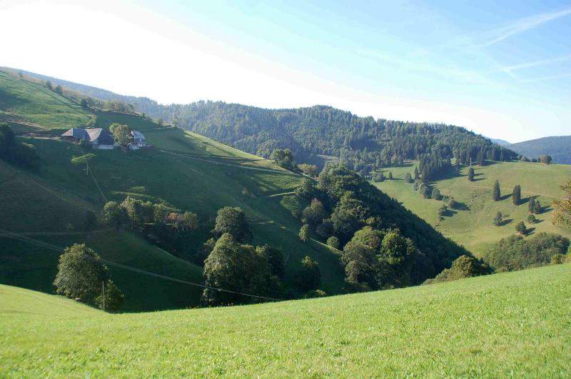
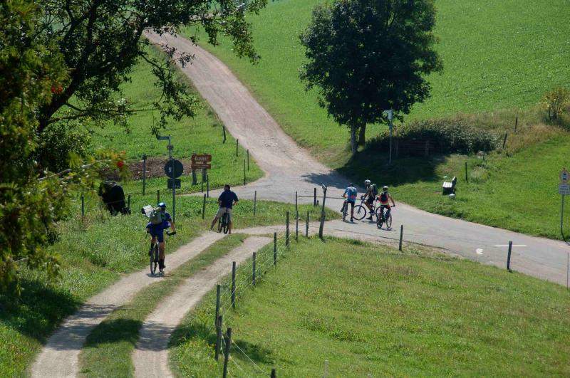
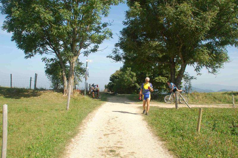
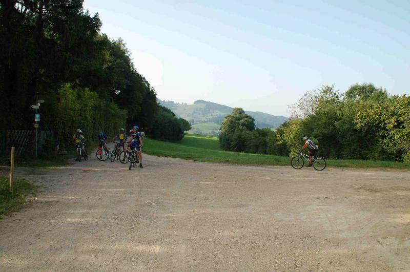
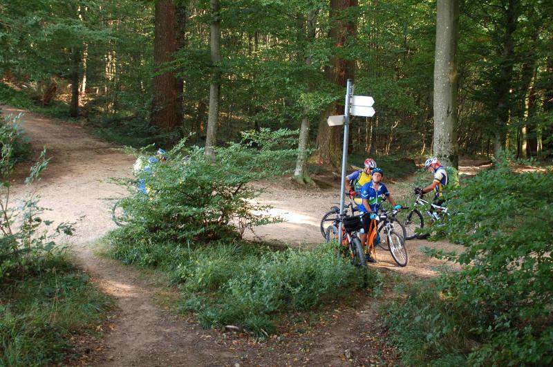
The route winds its way through forests, fields and meadows. There are a number of viewpoints along the way. The architecture of the old houses is a must-see.
Technical specifications
This is not a difficult course, but it does have some gradients and was ridden on gravel without any problems. It's a course of around 50% of beautiful rolling lanes and the rest on tarmac roads. As with most routes in the Black Forest, there are often some fairly steep gradients.
Optional: make a detour to Kohlplätzle at the start of the route DE-BW-0665, new pass 2022.
12 collars
| 1 - Sattel | 689 m | DE-BW-0689a |
| 2 - Sattel | 908 m | DE-BW-0908 |
| 3 - Sonnhaldeneck | 867 m | DE-BW-0867 |
| 4 - Schwelle | 798 m | DE-BW-0798 |
| 5 - Eduardshöhe | 859 m | DE-BW-0859 |
| 6 - Eck | 847 m | DE-BW-0847c |
| 7 - Gerstenhalmsattel | 840 m | DE-BW-0880 |
| 8 - Luisenhöhe | 590 m | DE-BW-0590b |
| 9 - Wonnhaldesattel | 339 m | DE-BW-0339 |
| 10 - Predigerplatz | 368 m | DE-BW-0368 |
| 11 - Lägersattel | 402 m | DE-BW-0402 |
| 12 - Bellenhöhe | 354 m | DE-BW-0354 |
Keywords Black Forest, Bad Krozingen, Staufen im Breisgau, Baden, centcols
Openrunner link, interactive map, profile, track : https://www.openrunner.com/route-details/16518242
This itinerary is provided for information only. The author accepts no liability, nor that of the Club des Cent Cols, for any imponderables due to the cyclist himself, the equipment used or anything to do with the road, tracks and paths, their surroundings or other users.
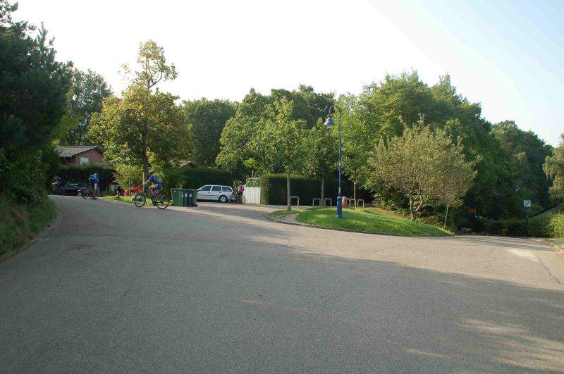
Photos