DE-BW Black Forest Hornberg south - Gravel 67 km, D+ 1790 m, 12 passes
Author description
Author Jean-Luc Ceccato
Course Completed on 27 July 2022
Departure : depuis un petit parking se trouvant à environ 7 km au sud d’Hornberg, sur la petite route qui part à gauche vers Untertal, juste après le carrefour avec la route principale B33. Alt : 563 m.
Tourist information
The terrain covered by this route lies on the eastern edge of the Black Forest massif and meets the valley of the River Neckar, which flows northwards towards the Rhine.
Technical specifications
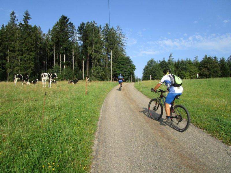
This route is not difficult and was completed on gravel.
Access to the Haseneckle pass (DE-BW-0609a) requires a short push through the grass.
It's a course of around 30% of beautiful rolling tracks and the rest on tarmac roads.
12 collars
| 1 - Dieterlebauernhöhe | 850 m | DE-BW-0850 |
| 2 - Storeck | 859 m | DE-BW-0859a |
| 3 - Immelsbacher Höhe | 654 m | DE-BW-0654 |
| 4 - Windeck | 699 m | DE-BW-0699 |
| 5 - Haseneckle | 609 m | DE-BW-0609a |
| 6 - Benz Ebene | 891 m | DE-BW-0891a |
| 7 - Gersbacher Ecke | 876 m | DE-BW-0876 |
| 8 - Auf der Ecke | 828 m | DE-BW-0828 |
| 9 - Kornelishöhe | 822 m | DE-BW-0822b |
| 10 - Tischneck | 706 m | DE-BW-0706a |
| 11 - Ecke | 884 m | DE-BW-0884 |
| 12 - Gründlehöhe | 847 m | DE-BW-0847b |
Keywords Black Forest, Hornberg, Untertal, Sülgen, centcols
Openrunner link, interactive map, profile, track : https://www.openrunner.com/route-details/16604358
This itinerary is provided for information only. The author accepts no liability, nor that of the Club des Cent Cols, for any imponderables due to the cyclist himself, the equipment used or anything to do with the road, tracks and paths, their surroundings or other users.
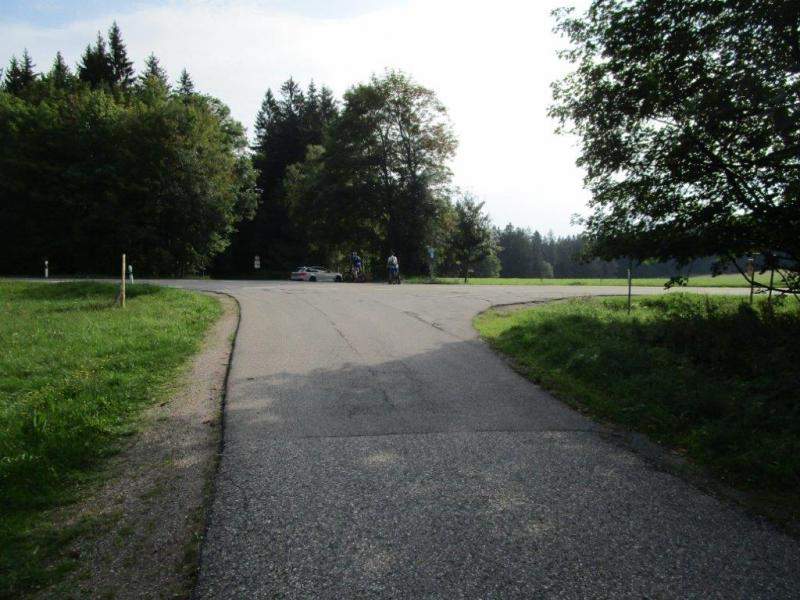
Photos