DE-BW Black Forest Niederweiler south - Gravel 54 km, D+ 1550 m, 12 passes
Author description
Author Jean-Luc Ceccato
Course Completed on 11 June 2022
Departure : Niederweiler, sortie est de Müllheim, Weilertalstraße le long de la rivière Weiler. Proche de l’hôtel Wartek. Alt: 292 m.
Tourist information
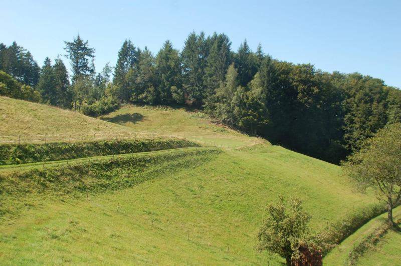
Niederweiler lies on the edge of the Black Forest. The surrounding landscape, which is covered by this route, offers beautiful views over the Rhine plain, which is quite narrow at this point, on either side of the Rhine river.
Technical specifications
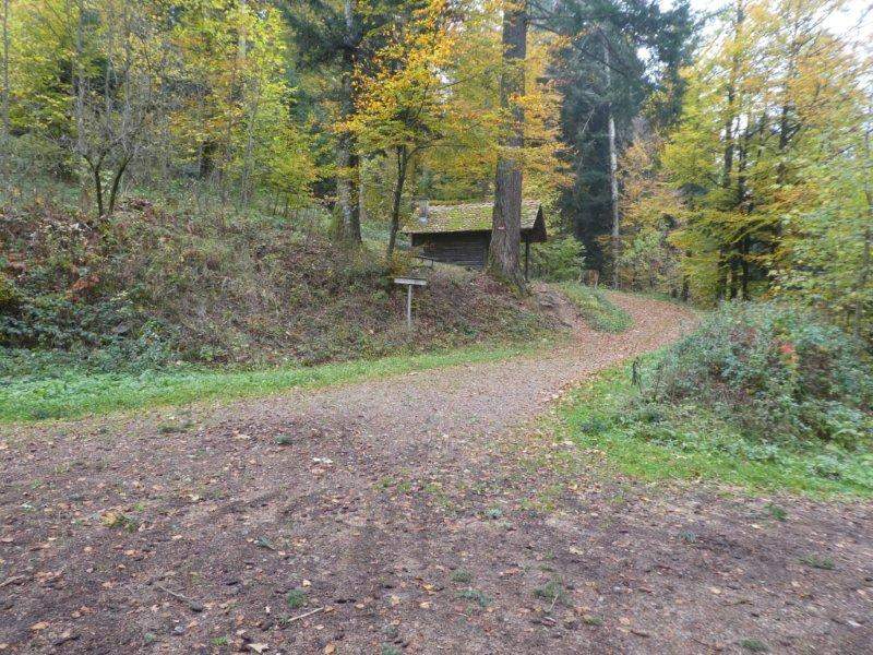
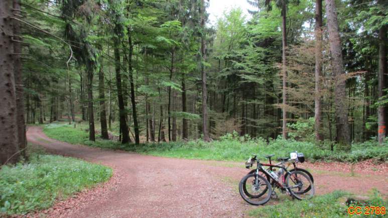
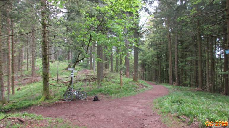
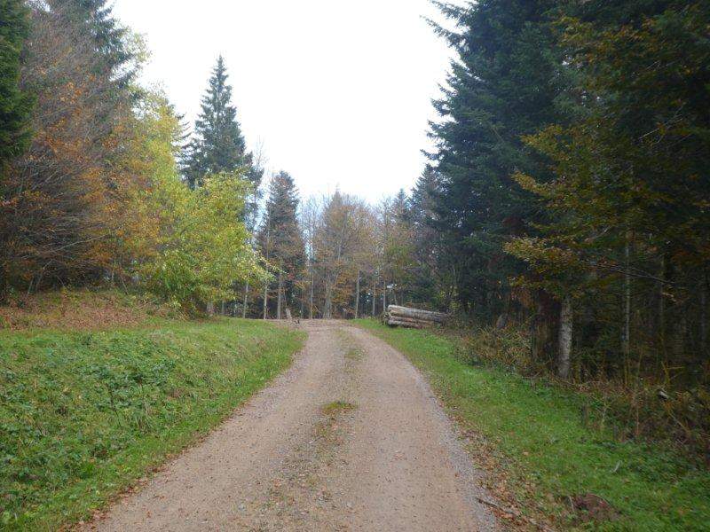
This route does not present any difficulty, but it does have a difference in altitude. It was done on gravel without any problems.
It's a course of around 50% of beautiful rolling tracks and the rest of tarmac roads.
12 collars
| 1 - Rheintaler Höhe | 465 m | DE-BW-0465 |
| 2 - Schlosssattel | 615 m | DE-BW-0615a |
| 3 - Mohrensattel | 528 m | DE-BW-0528 |
| 4 - Lange Ebene | 540 m | DE-BW-0540a |
| 5 - Salneck | 634 m | DE-BW-0634 |
| 6 - Hexenplatz | 843 m | DE-BW-0843 |
| 7 - Leideck | 847 m | DE-BW-0847a |
| 8 - Fischerbrunnsattel | 1069 m | DE-BW-1069 |
| 9 - Müllheimer Egerten Sattel | 925 m | DE-BW-0864 |
| 10 - Stühle | 1047 m | DE-BW-1047 |
| 11 - Spähnplatz | 1053 m | DE-BW-1053a |
| 12 - Sirnitzsattel | 1071 m | DE-BW-1071a |
Keywords Black Forest, Niederweiler, Müllheim, centcols
Openrunner link, interactive map, profile, track : https://www.openrunner.com/route-details/16574843
This itinerary is provided for information only. The author accepts no liability, nor that of the Club des Cent Cols, for any imponderables due to the cyclist himself, the equipment used or anything to do with the road, tracks and paths, their surroundings or other users.
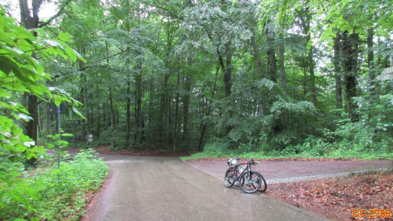
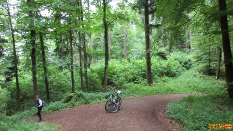
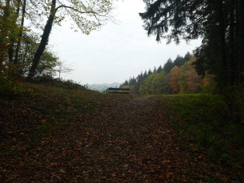
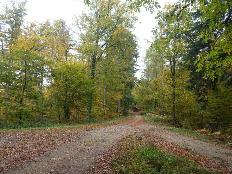
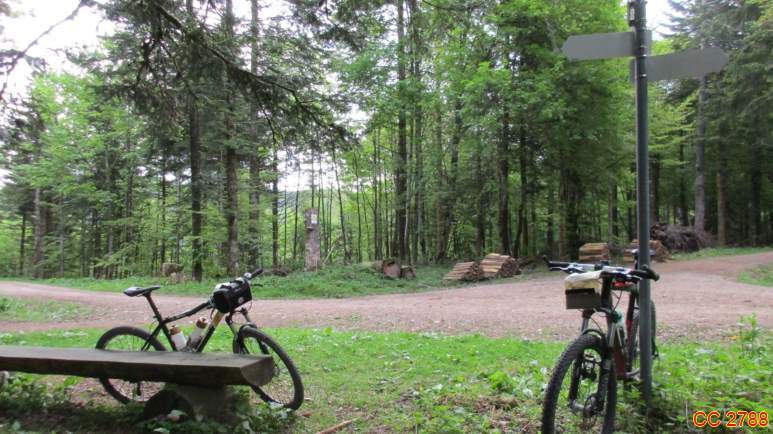
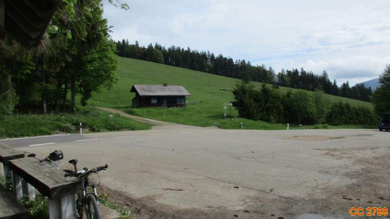
Photos