FR-11 Belcaire - Mountain bike 48 km, D+ 1200 m, 17 passes
Author description
Authors Patrick Mandard and Philippe Chazottier
Course carried out on 1er April 2025
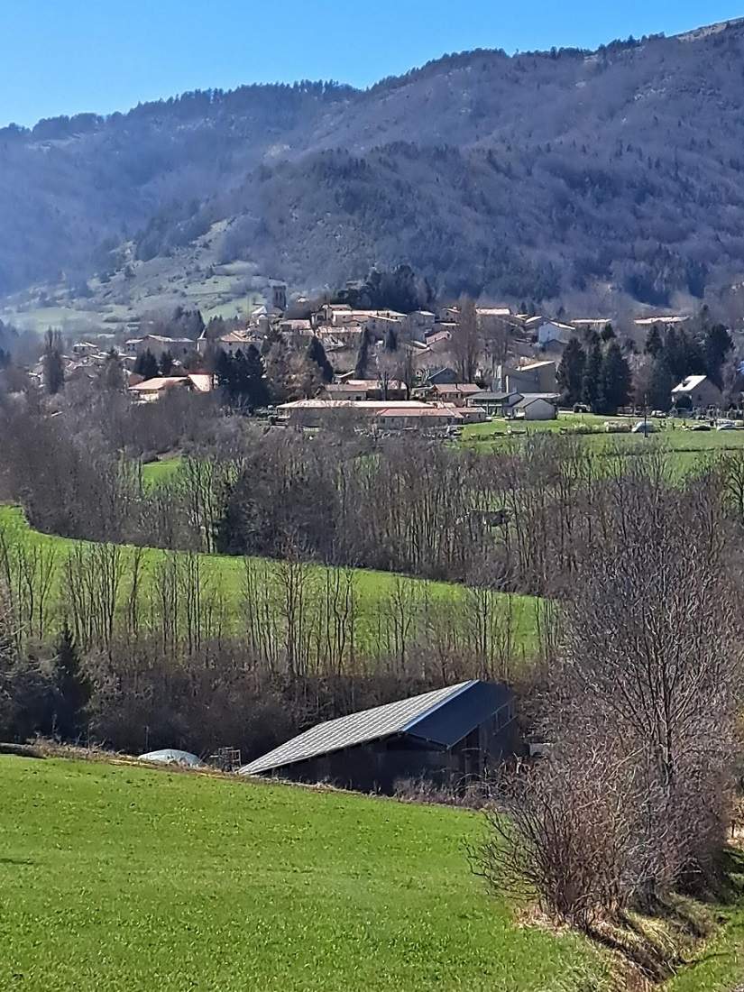
Departure Belcaire, near the cemetery at the east entrance to the village.
Tourist information
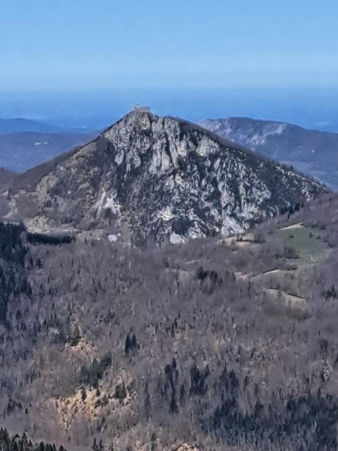
Beautiful views of Montségur castle from the Pas du Roc pass.
In the Aude Pyrenees, the Sault region consists of a high plateau situated at an altitude of over 1,000 metres and offers magnificent panoramic views of the Ariège Pyrenees. Numerous caves containing traces of prehistoric occupation, some of which feature cave paintings, are scattered throughout this area (not open to visitors). In the village of Belvis (see the route FR-11 Col de Coudons) there are contemporary frescoes, which repeat some of the drawings.
Le Sault region is also renowned for its potato crops.
If you only have one day, I'd recommend one of these two routes, starting from the village of Belcaire or Espezel.
Technical specifications
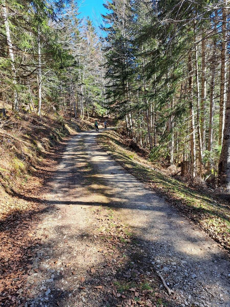
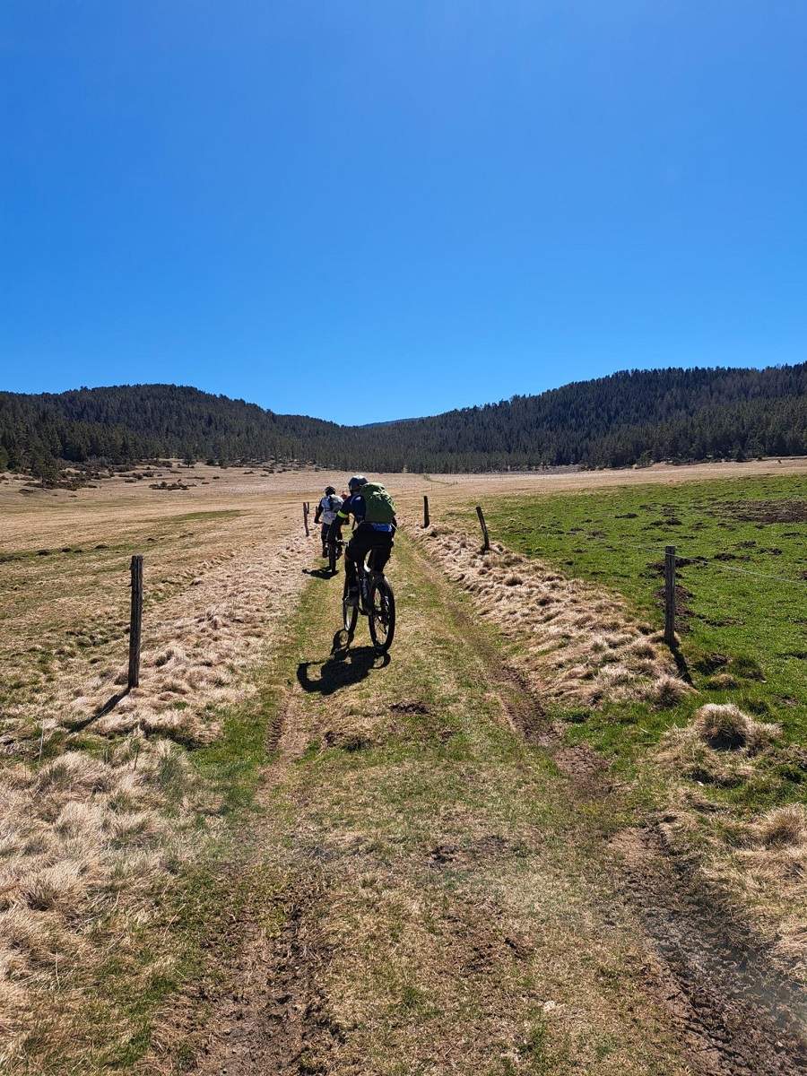
Suitable for cycling (97 %) and accessible by gravel bike, this is a very beautiful route, with the first section featuring lovely stretches through the forest, followed by a long ride across the Sault plateau which presents no major difficulties.
17 passes
| 1 - Col du Traouc | 1135 m | FR-11-1135 |
| 2 - Col de Perrucel | 1071 m | FR-11-1064 |
| 3 - Col de Lauzier | 1377 m | FR-11-1377 |
| 4 - Col de Lancise | 1307 m | FR-11-1307 |
| 5 - Col de la Gargante | 1352 m | FR-11-1352 |
| 6 - Pas du Roc pass | 1345 m | FR-11-1345 |
| 7 - Col du Boum | 1305 m | FR-11-1305 |
| 8 - Les Cols | 1365 m | FR-11-1365 |
| 9 - Col du Boum de Camurac | 1374 m | FR-11-1375 |
| 10 - Col des Sept Frères | 1253 m | FR-11-1253 |
| 11 - Col de la Taillade | 1247 m | FR-11-1251 |
| 12 - Col d'Ubi | 1055 m | FR-11-1055b |
| 13 - Col de Feilles | 1109 m | FR-11-1109b |
| 14 - Couillade de Canavi | 1135 m | FR-11-1135a |
| 15 - Pas de la Cargue | 1150 m | FR-11-1150 |
| 16 - Pas du Loup | 1145 m | FR-11-1145 |
| 17 - Col des Sarrasis | 1097 m | FR-11-1105a |
Keywords Belcaire, Sault, Montségur, centcols
Openrunner link, interactive map, profile, track : https://www.openrunner.com/route-details/23207333
This itinerary is provided for information only. The author accepts no liability, nor that of the Club des Cent Cols, for any imponderables due to the cyclist himself, the equipment used or anything to do with the road, tracks and paths, their surroundings or other users.
Photos

 Français
 English (UK)
 Italiano
 Deutsch
 Español
 Nederlands (België)