FR-34 Lodève - Route 86 km, D+ 1630 m, 9 passes
Author description
Author : René Mercier
Course Completed on 26 April 2026
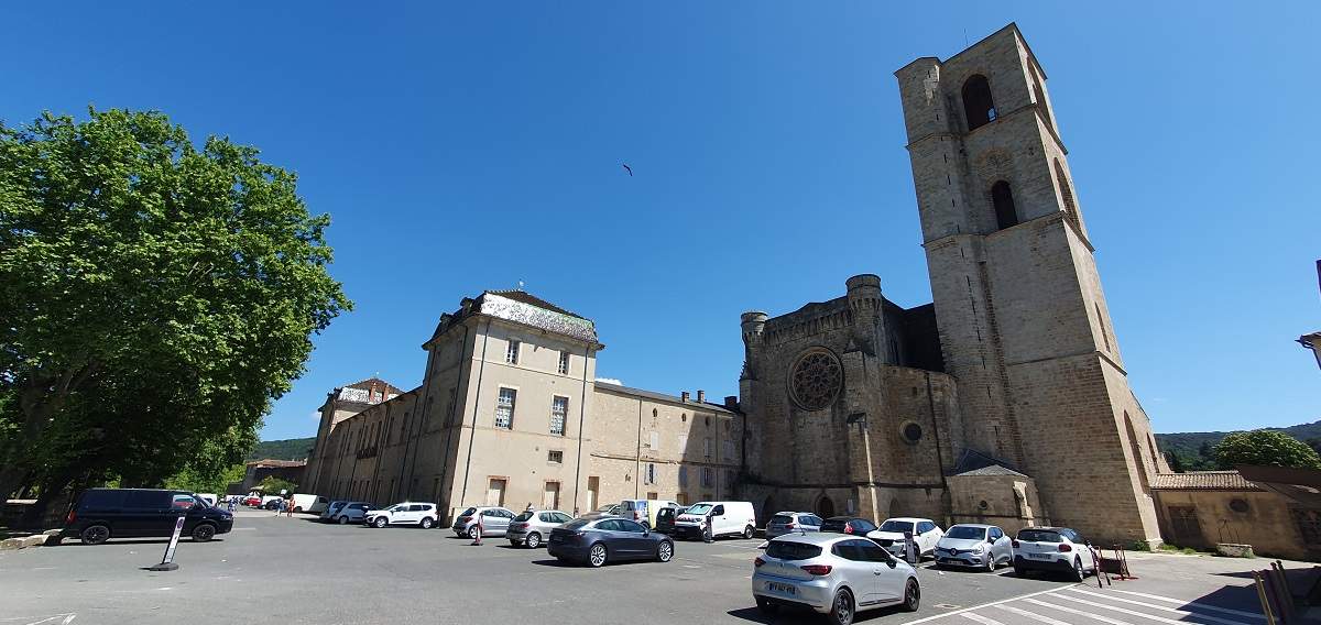
Departure Parking: in front of Lodève cathedral and the town hall, a large car park adjoining the municipal park. Some spaces are shaded under the plane trees.
Tourist information
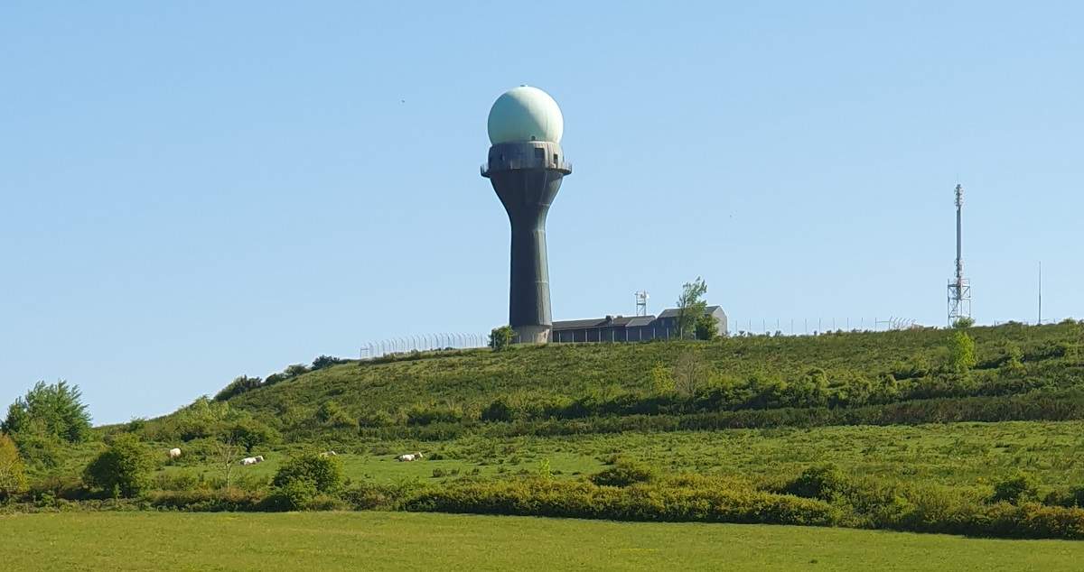
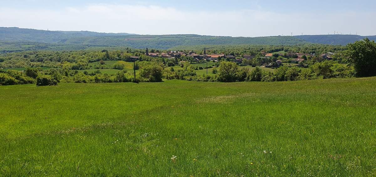
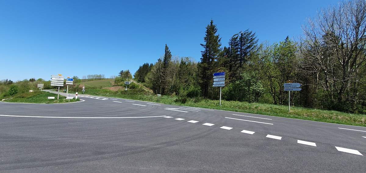
This is a very green route, with varied landscapes. The first half offers magnificent views over lush meadows. Near the Col de l'Engayresque, you can see a radome which is probably used as a weather radar, but could just as easily be used by civil aviation; then you soon reach the pass where you will find the Lerab Ling Buddhist temple, a Tibetan Buddhist retreat centre.
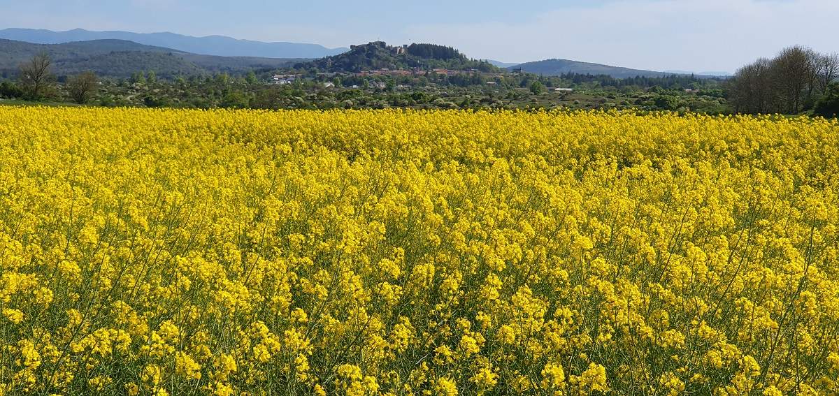
As you approach the village of Le Caylar off the A75, you pass through an area of farmland. Behind the village you can see the Cévennes.
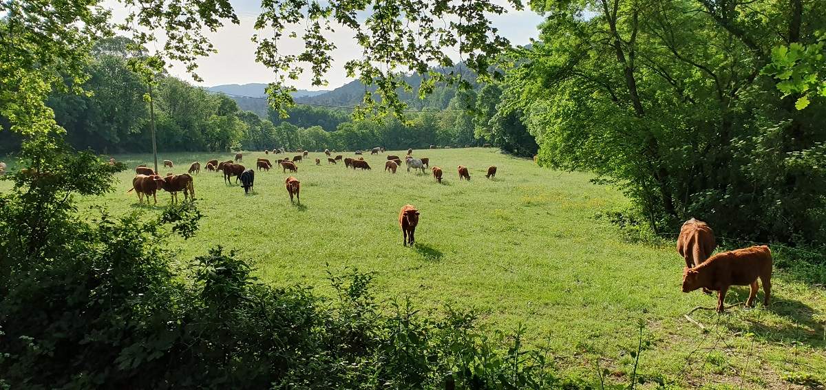
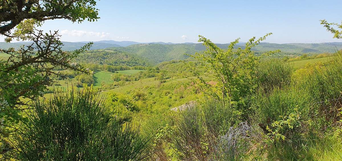
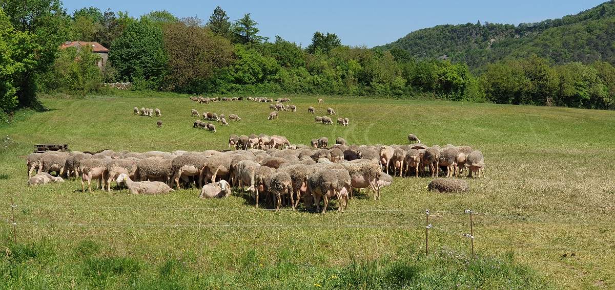
Before Le Clapier, the landscape is that of the Aveyron causse, with cades, Mediterranean shrubs and herds of sheep and cows.
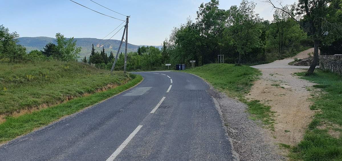
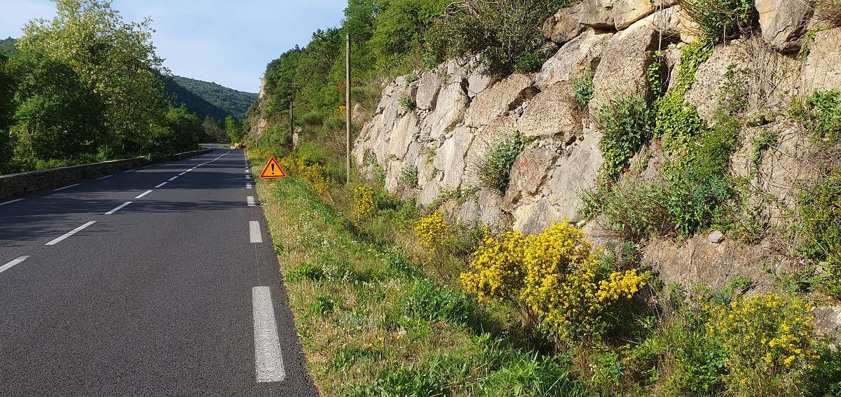
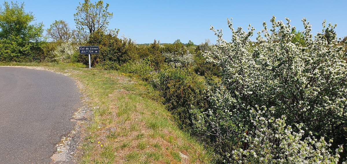
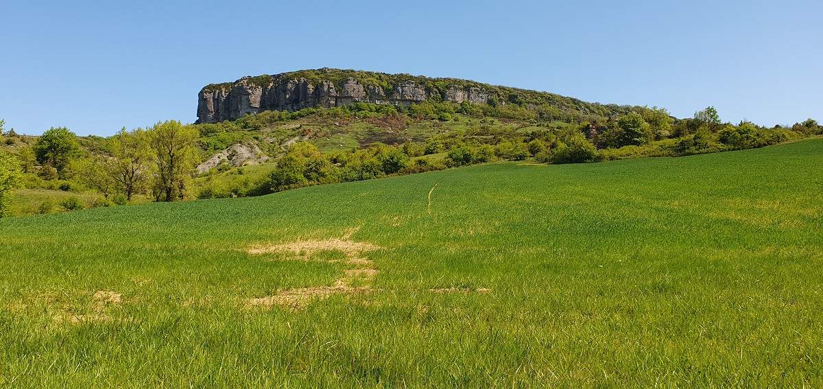
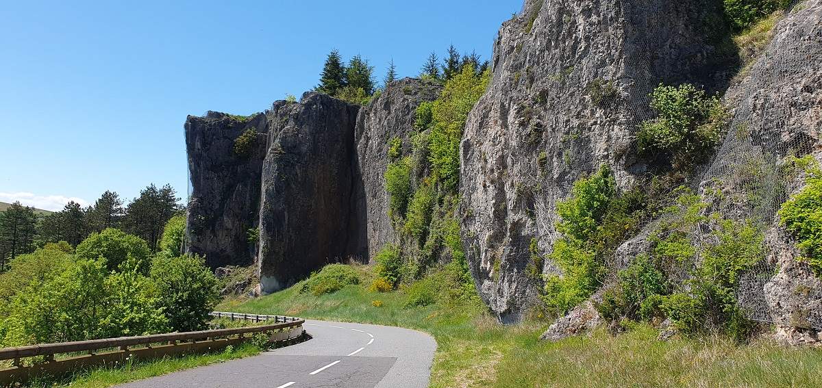
The landscape then becomes very green again until the end. Towards the Col du Perthus, rocks appear that bear witness to a volcanic past.
In Lodève you can visit the cathedral Saint-Fulcran, its cloister, organ and magnificent stained glass windows. Adjacent to the cathedral, you can admire the former episcopal palace (now the Lodève town hall).
If you have time :
- the museum in Lodève (Hôtel du Cardinal de Fleury) tells the story of the earth, prehistory and sculpture.
- by appointment only, but you can also visit the’apothecary of the Saint-Jean hospital.
- don't miss the Manufacture nationale de la Soapery, which is an annex of the Gobelins workshops in Paris.
Technical specifications
This route is cycleable at 100%. We start with a 14km climb, which is fairly demanding over the 7km before and after the Baraque de Bral pass: many passages around 8%, sometimes more.
The rest of the route is very hilly up to the village of Le Clapier (km 51). After Saint-Félix-de-l'Héras, there is a 1 km section at 9% before the end of the loop back to the village of Les Rives (km 38) - a difficulty that can be avoided by doing a simple round trip to Pas des Gavaches from Les Rives, as it is flat.
There are 7 km of climbing left around Roqueredonde to get back to the Col de l'Engayresque, with a few challenging sections before Roqueredonde.
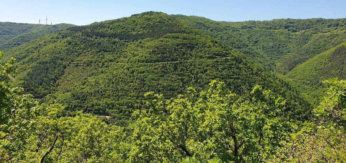
From the Col du Perthus, the descent to Lodève is very fast, with your hands on the brakes. There are some vertiginous sections with a parapet and trees that hide the void towards the valley.
You can fill your jerrycan in the village of Les Rives, where there is a tap at the beginning of the village near a pond, almost on the ground. Alternatively, in Le Clapier on the right, just before the local school, behind a water trough there is a wash-house with a tap providing fresh drinking water.
9 collars
| 1 - Col de la Défriche | 363 metres | FR-34-0363 |
| 2 - Col de la Baraque de Bral | 609 m | FR-34-0611 |
| 3 - Col Rouge | 754 m | FR-34-0785b |
| 4 - Col de l'Engayresque | 828 m | FR-34-0828 |
| 5 - Pas des Gavaches | 745 m | FR-34-0745a |
| 6 - Pas de la Livre | 859 m | FR-12-0859 |
| 7 - No halter tops | 741 m | FR-12-0734 |
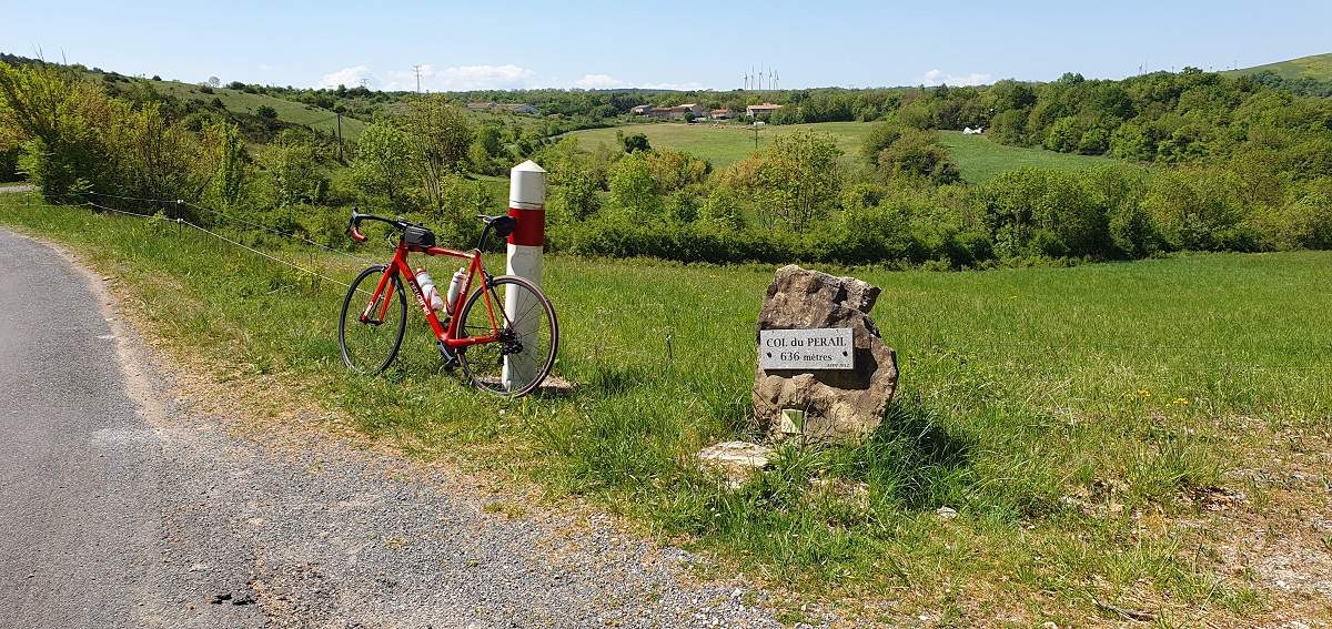
| 8 - Col du Perail | 636 m | FR-12-0636 |
| 9 - Col du Perthus | 678 m | FR-34-0700b |
Keywords Lodève, Engayresque, Caylar, Roqueredonde, centcols
Openrunner link, interactive map, profile, track : https://www.openrunner.com/route-details/23932960
This itinerary is provided for information only. The author accepts no liability, nor that of the Club des Cent Cols, for any imponderables due to the cyclist himself, the equipment used or anything to do with the road, tracks and paths, their surroundings or other users.
Photos