FR-48 Châteauneuf-de-Randon – Route 103 km, elevation gain 1,740 m, 9 mountain passes
Author description
Author : René Mercier
Course : carried out on 11 June 2026
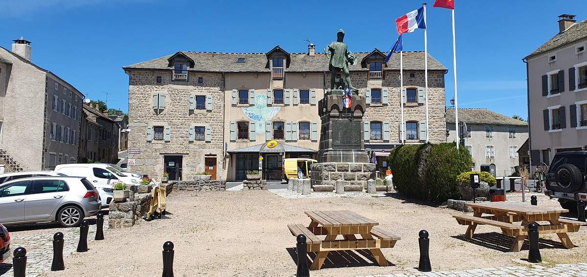
Departure : car park on the main square in Châteauneuf-de-Randon.
Tourist information
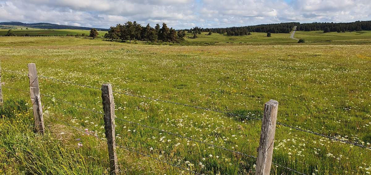
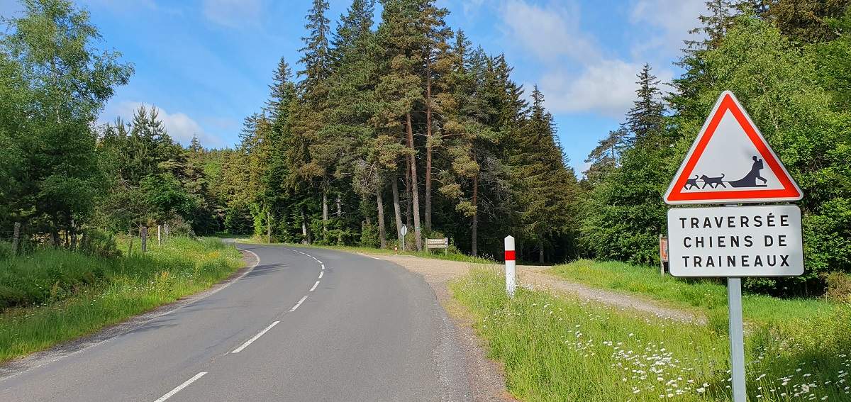
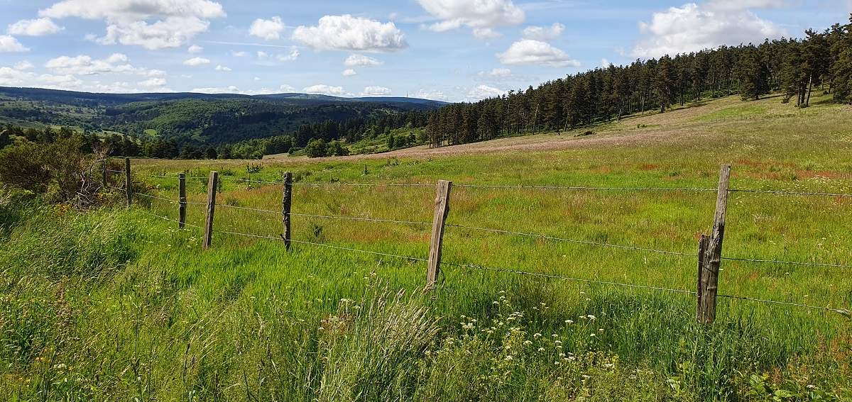
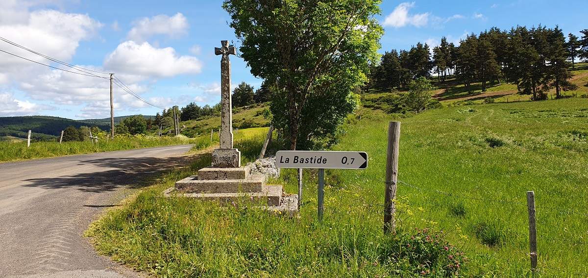
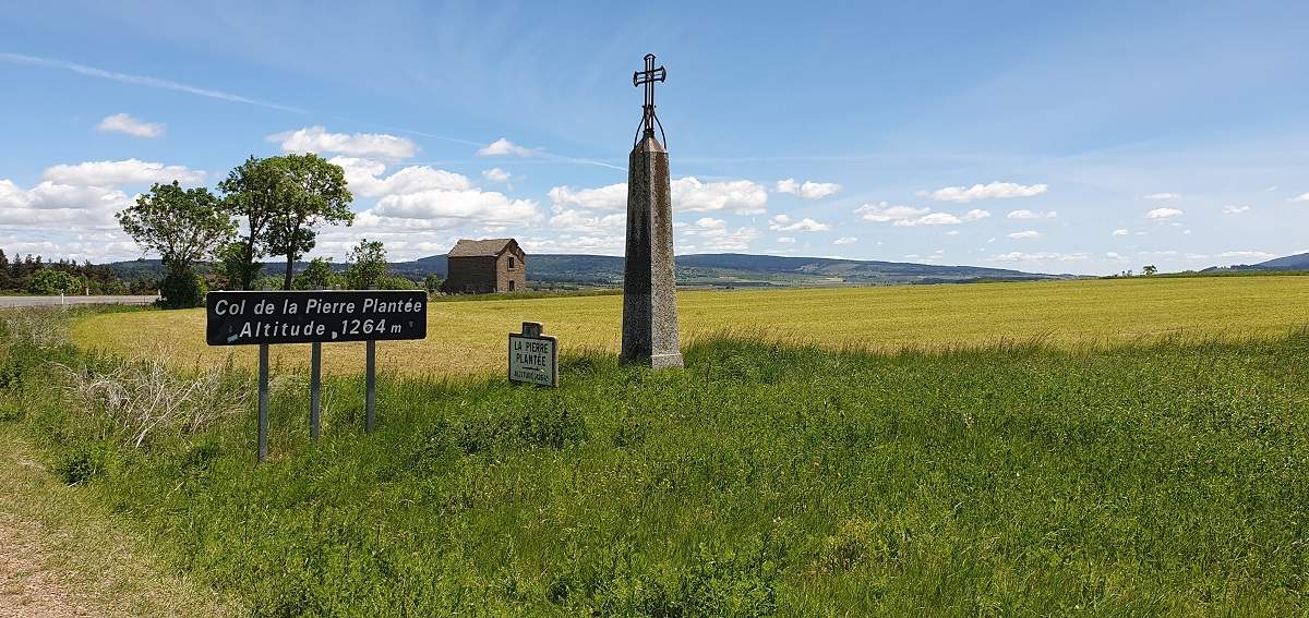
This is a very green route, alternating between numerous large meadows and coniferous forests set on hillocks that are particularly exposed to the wind, winding through the Margeride region of the Lozère in the Haut-Gévaudan. The mountain passes here are often adorned with crosses. Two «Col de la Pierre Plantée» passes are situated symmetrically to the north and south of Châteauneuf-de-Randon.
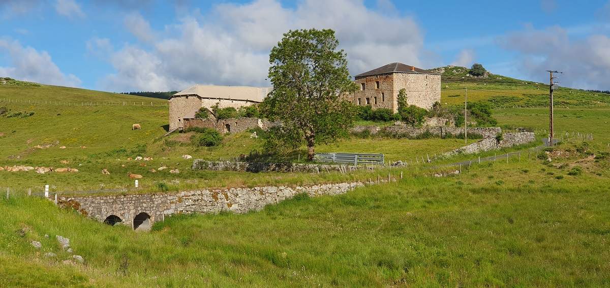
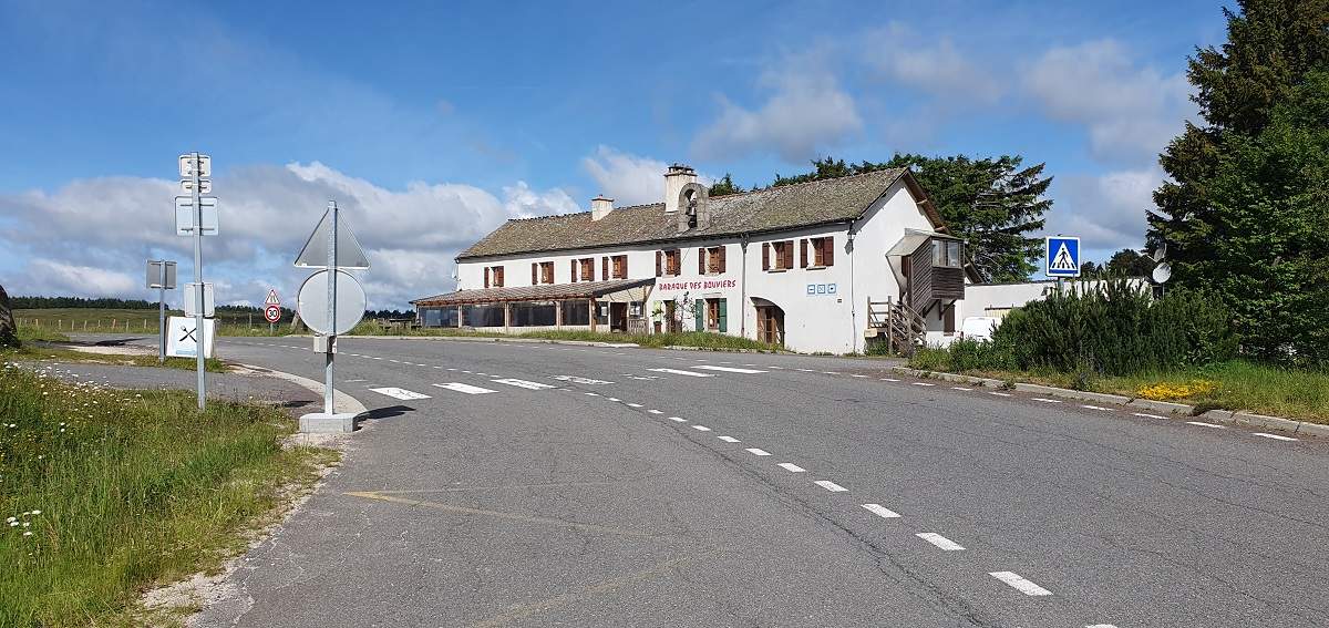
One often comes across places called «Baraque»: this name is given to places to rest, often inns. The Baraque des Bouviers, situated at the pass of the same name, is one such example. The term ‘bouvier’ used to refer to a person (or a dog) who looked after herds of cattle.
Be sure to take a look at the beautiful cobbled square in Châteauneuf-de-Randon and its statue of Bertrand Du Guesclin, Constable of France in the 14th centurye century. During the Hundred Years’ War, King Charles V, wishing to liberate the Gévaudan region, asked Du Guesclin to recapture the citadel of Châteauneuf-de-Randon from the English. In 1380, the English surrendered, but Du Guesclin had just died. A cenotaph is dedicated to him in the hamlet of l’Habitarelle, on a small hillock at the foot of Châteauneuf-de-Randon.
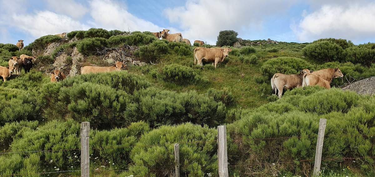
Places to visit near the circuit: the Sainte-Eulalie European bison reserve, the Truc de Fortunio and its 105-metre-high transmission tower, which offers sweeping panoramic views, and Lake Charpal, which supplies drinking water to the canton of Mende.
Technical specifications
This route is 100% suitable for cycling; it ranges in altitude between 1,100 m and 1,450 m, so it can get quite chilly in summer, which was the case on 11 June.
On the whole, the slopes are fairly easy to ride down, except for:
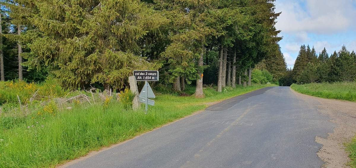
- the final two kilometres of the Col des Trois Sœurs, which are climbed at a gradient of between 6 and 8 %;
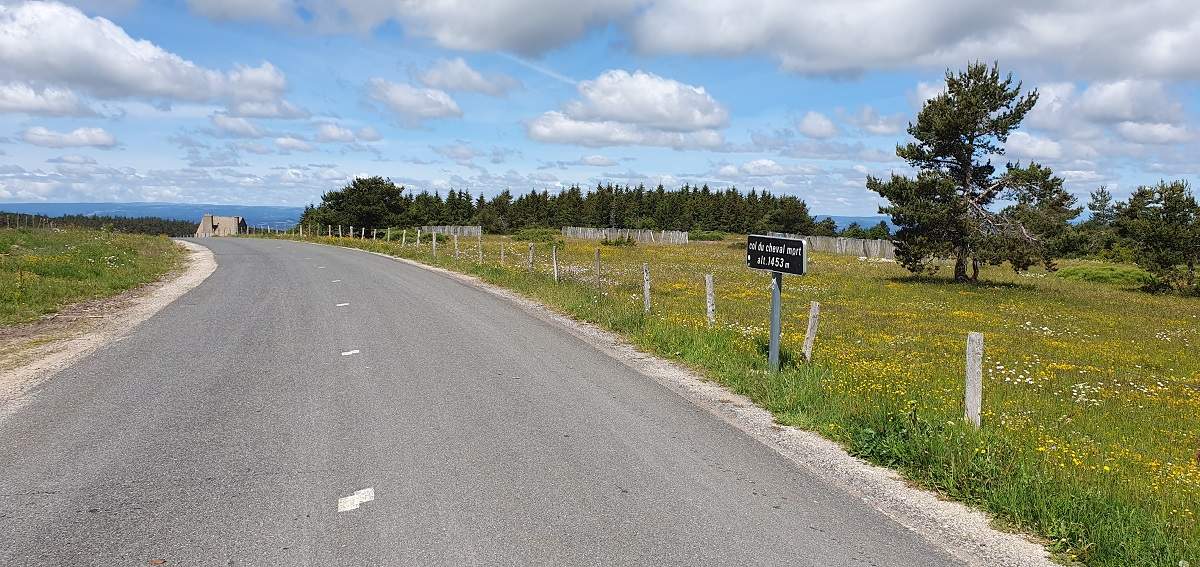
- the final three kilometres of the Col du Cheval Mort, which consist mainly of a gradient of 7 or 8 %;
- the (final) kilometre of the climb up to the square in Châteauneuf-de-Randon, which is an 8 % gradient.
Traffic is relatively light for the first 70 kilometres, but drivers tend to drive fast everywhere. Take care towards the end: the N88 from Laubert at km 72 is quite busy right up to the end of the route; you should keep to the right even though the road is wide and the driving conditions are good.
9 collars
| 1 – Col de la Pierre Plantée | 1274 m | FR-48-1274 |
| 2 – Col des Trois Sœurs | 1,452 m | FR-48-1452 |
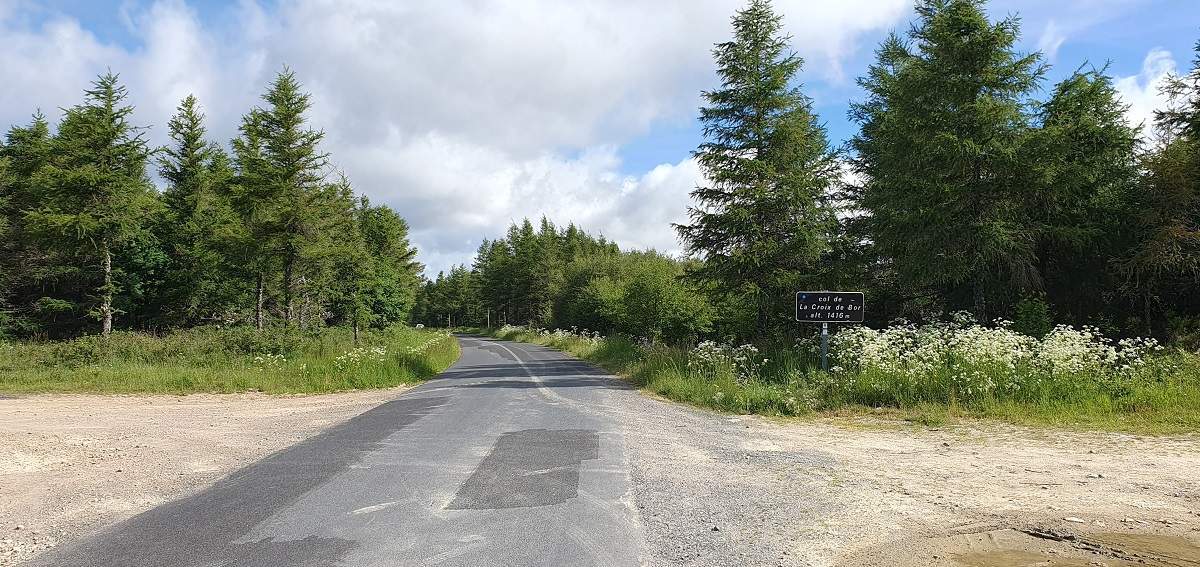
| 3 – Col de la Croix de Bor | 1,417 m | FR-48-1417 |
| 4 – Baraque des Bouviers Pass | 1,418 m | FR-48-1418 |
| 5 – Col des Quatre Chemins | 1,284 m | FR-48-1284 |
| 6 – Col du Cheval Mort | 1,454 m | FR-48-1454 |
| 7 – Charpal Pass | 1377 m | FR-48-1400 |
| 8 – Col de la Pierre Plantée | 1,263 m | FR-48-1263 |
| 9 – Baraque de l’Air Pass | 1,201 m | FR-48-1201 |
Keywords : Châteauneuf-de-Randon, Rieutort-de-Randon, Gévaudan, Margeride, Centcols
Openrunner link, interactive map, profile, track : https://www.openrunner.com/route-details/24382254
This itinerary is provided for information only. The author accepts no liability, nor that of the Club des Cent Cols, for any imponderables due to the cyclist himself, the equipment used or anything to do with the road, tracks and paths, their surroundings or other users.
Photos