DE-BW Black Forest Gernsbach south - Gravel 86 km, D+ 1910 m, 6 passes
Author description
Author Jean-Luc Ceccato
Course to be carried out in 2021
Départ : Gernsbach, parking le long de la Färbertorstraße, proche du stade.
Tourist information
The route winds its way through forests, fields and meadows. There are a number of viewpoints along the way. The architecture of the old houses is a must-see.
Technical specifications
This is not a difficult course, but it does have a difference in altitude, and it was ridden on gravel without any problems. It's a course of around 76% of tarmac roads and the rest of beautiful lanes.
As with most routes in the Black Forest, there are often quite steep gradients to contend with.
Il est possible, pour les personnes plus aguerries, de fusionner ce parcours de 86 km avec celui de Gernsbach nord DE-BW Gernsbach North, et de réaliser un parcours unique de 119 km avec 2560 m D+ englobant les 12 cols de ce secteur, à 5 km au nord au départ de Gaggenau (stationnement près du Waldfriedhof (cimetière), rive droite de la Murg, au niveau du carrefour entre la Michelbacher Strasse et la Kniebisstrasse).
Lien openrunner de ce grand parcours : https://www.openrunner.com/route-details/23725647.
6 collars
| 1 - Weithäuslesplatz | 822 m | DE-BW-0822a |
| 2 - Meisternebene | 707 m | DE-BW-0707a |
| 3 - Heselsteig | 688 m | DE-BW-0688 |
| 4 - Sattel | 717 m | DE-BW-0717 |
| 5 - Viereichensattel | 912 m | DE-BW-0912 |
| 6 - Schwarzmisssattel | 934 m | DE-BW-0934 |
Keywords Black Forest, Gernsbach, Baden, Centralols
Openrunner link, interactive map, profile, track : https://www.openrunner.com/route-details/23686957
This itinerary is provided for information only. The author accepts no liability, nor that of the Club des Cent Cols, for any imponderables due to the cyclist himself, the equipment used or anything to do with the road, tracks and paths, their surroundings or other users.
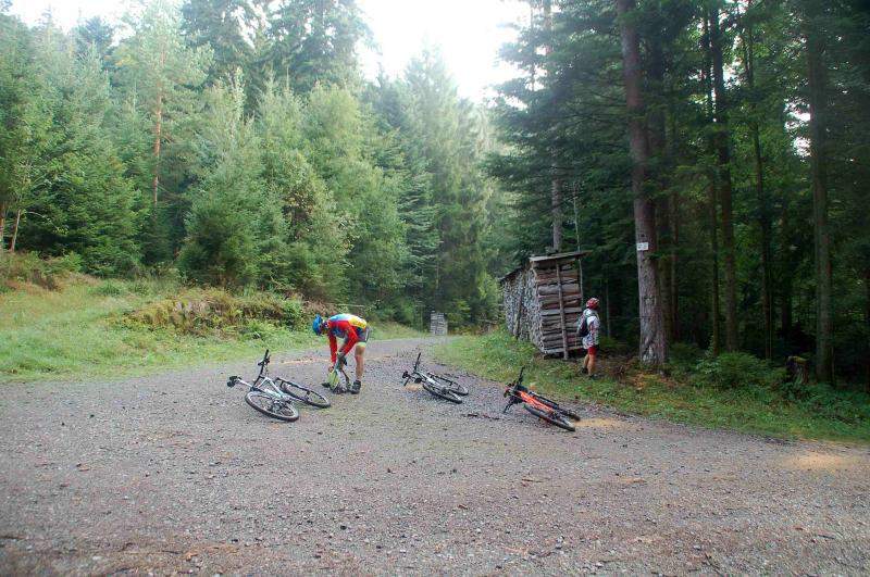
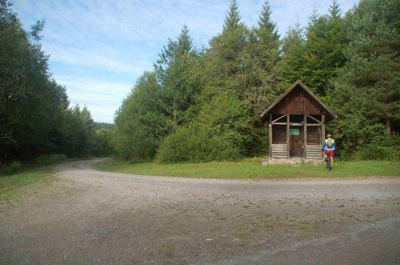
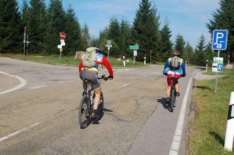
Photos